Stanningley, Leeds
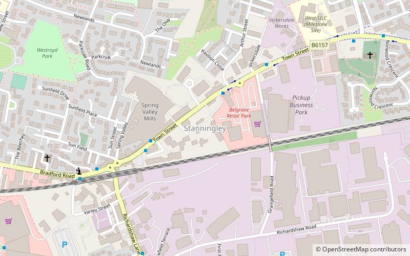
Map
Facts and practical information
Stanningley is a district of Pudsey, West Yorkshire, England. It is situated approximately 5 miles west of Leeds city centre on the A647 road, the original main road from Leeds to Bradford. The appropriate Leeds Metropolitan Ward is Bramley and Stanningley. The parish is part of the Anglican Diocese of Leeds. ()
Coordinates: 53°48'22"N, 1°39'47"W
Address
North Pudsey (Stanningley)Leeds
ContactAdd
Social media
Add
Getting there by public transportation
Public transportation stops near this location
- Bus
- Train
 Bus
Bus
- Calculate routeSwinnow Lane Stanningley Road 16 min walk
- Calculate routeLowtown The Lanes 16 min walk
- Calculate routeStanningley Road Fairfield Avenue 17 min walk
- Calculate routeNew Pudsey 19 min walk
- Calculate routeBramley 27 min walk
Day trips


Frequently Asked Questions (FAQ)
Which popular attractions are close to Stanningley?
Nearby attractions include Farsley, Leeds (14 min walk), Pudsey, Leeds (17 min walk), Pudsey Town Hall, Bradford (17 min walk), Swinnow, Leeds (21 min walk).
How to get to Stanningley by public transport?
The nearest stations to Stanningley:
Bus
Train
Bus
- Swinnow Lane Stanningley Road • Lines: 14 (16 min walk)
- Lowtown The Lanes • Lines: 4, 4F (16 min walk)
Train
- New Pudsey (19 min walk)
- Bramley (27 min walk)