Fryent Country Park, London
Map
Facts and practical information
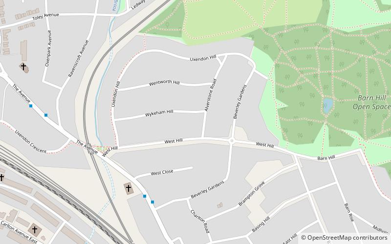
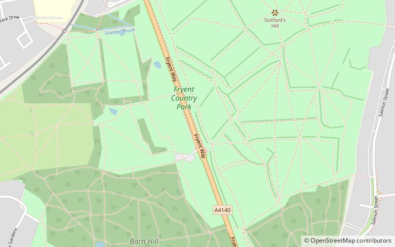
Fryent Country Park, together with Barn Hill Open Space, is a large park situated in the north of the London Borough of Brent. It covers 103 hectares of rolling fields and small woods. ()
Elevation: 171 ft a.s.l.Coordinates: 51°34'35"N, 0°16'32"W
Address
Brent (Fryent)London
ContactAdd
Social media
Add
Day trips
Fryent Country Park – popular in the area (distance from the attraction)
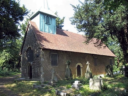
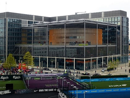
Nearby attractions include: Brent Reservoir, Chalkhill Park, Old St Andrew's Church, Wembley Library.
Frequently Asked Questions (FAQ)
Which popular attractions are close to Fryent Country Park?
Nearby attractions include Roe Green Park, London (19 min walk), Old St Andrew's Church, London (21 min walk).
How to get to Fryent Country Park by public transport?
The nearest stations to Fryent Country Park:
Bus
Metro
Bus
- Jewish Free School • Lines: 183, 628, 653, 683, 688 (14 min walk)
- The Garth • Lines: 79 (15 min walk)
Metro
- Kingsbury • Lines: Jubilee (15 min walk)
- Wembley Park • Lines: Jubilee, Metropolitan (23 min walk)
 Tube
Tube
