Kenton Road, Borehamwood
Map
Facts and practical information
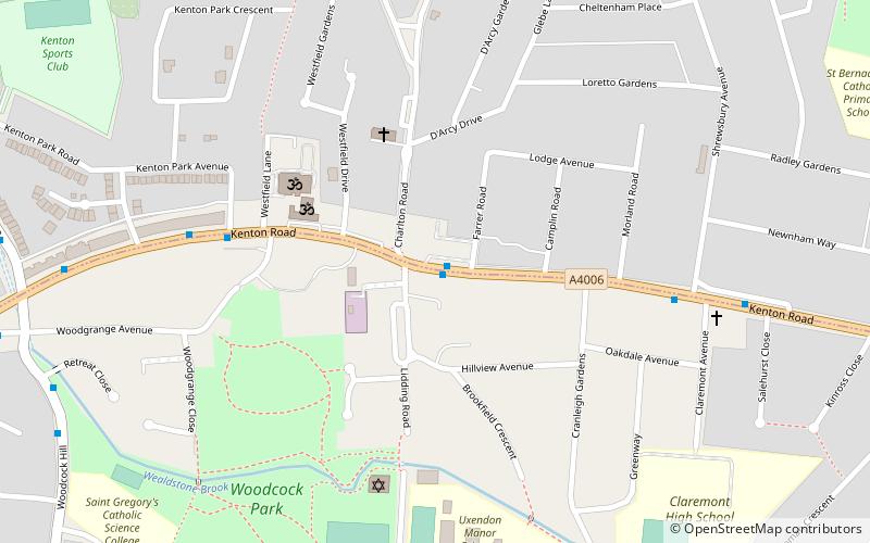
Kenton Road is a main road in the London Borough of Harrow and the London Borough of Brent. It lies in the areas of Harrow and Kenton. ()
Coordinates: 51°35'12"N, 0°17'55"W
Address
Brent (Kenton)Borehamwood
ContactAdd
Social media
Add
Getting there by public transportation
Public transportation stops near this location
- Metro
- Bus
 Metro
Metro
- Calculate routeCharlton Road 1 min walk
- Calculate routeKenton Park Avenue 5 min walk
- Calculate routeShrewsbury Avenue 6 min walk
- Calculate routeKenton Lane 8 min walk
- Calculate routeQueensbury 19 min walk
- Calculate routeKenton 22 min walk
- Calculate routeKingsbury 23 min walk
- Calculate routeNorthwick Park 26 min walk
Day trips


Frequently Asked Questions (FAQ)
How to get to Kenton Road by public transport?
The nearest stations to Kenton Road:
Bus
Metro
Bus
- Charlton Road • Lines: 183 (1 min walk)
- Kenton Park Avenue • Lines: 183 (5 min walk)
Metro
- Queensbury • Lines: Jubilee (19 min walk)
- Kenton • Lines: Bakerloo (22 min walk)