Hisehope Burn Valley, North Pennines
Map

Map

Facts and practical information
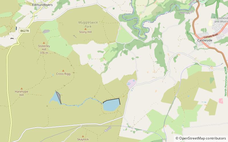
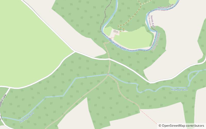
Hisehope Burn Valley is a Site of Special Scientific Interest in the Derwentside district of Durham, England. It consists of two separate parcels of land, one on the west bank of Hisehope Burn, the other a few hundred yards to the east, straddling the headwaters of another small burn. The site is some 3 km west of the village of Castleside and 1 km north of the Smiddy Shaw Reservoir. The larger area adjoins the Muggleswick, Stanhope and Edmundbyers Commons and Blanchland Moor SSSI. ()
Coordinates: 54°49'21"N, 1°55'56"W
Address
North Pennines
ContactAdd
Social media
Add
Day trips
Hisehope Burn Valley – popular in the area (distance from the attraction)
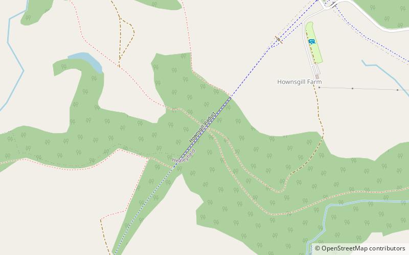
Nearby attractions include: Pow Hill Bog, Hisehope Reservoir, Hownsgill Viaduct, Blanchland Abbey.


