Lyttelton Playing Fields, London
Map
Gallery
Facts and practical information
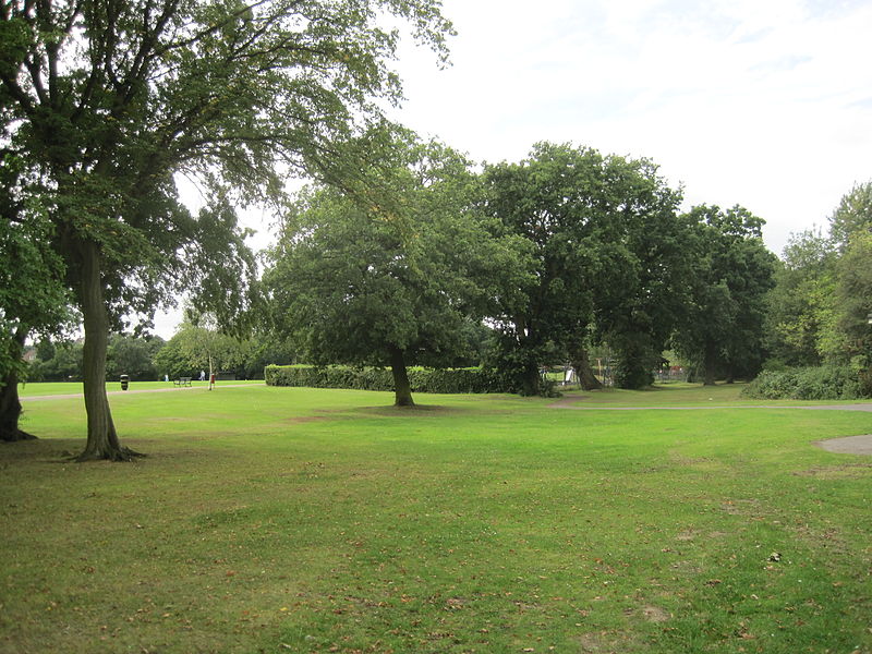
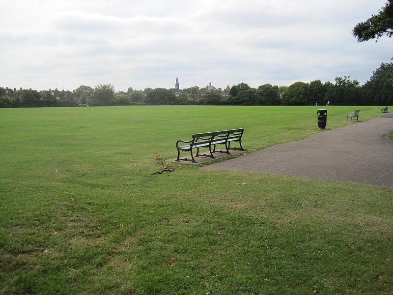
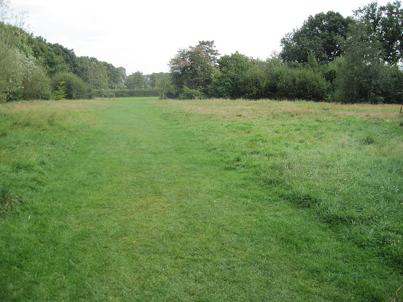
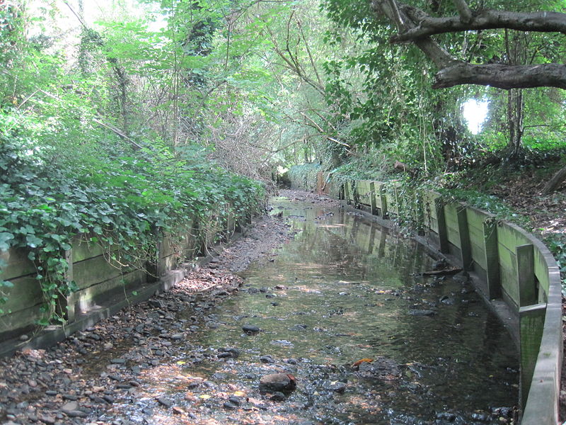
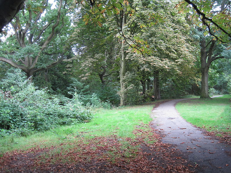
Lyttelton Playing Fields is a 9 hectare public park in Hampstead Garden Suburb in the London Borough of Barnet. It is one of Barnet's 'Premier Parks'. ()
Elevation: 217 ft a.s.l.Coordinates: 51°35'0"N, 0°10'38"W
Address
Barnet (Garden Suburb)London
ContactAdd
Social media
Add
Day trips
Lyttelton Playing Fields – popular in the area (distance from the attraction)
Nearby attractions include: Golders Green Jewish Cemetery, Phoenix Cinema, Spaniards Inn, Golders Green Hippodrome.
Frequently Asked Questions (FAQ)
Which popular attractions are close to Lyttelton Playing Fields?
Nearby attractions include Hampstead Garden Suburb, London (9 min walk), East Finchley, London (13 min walk), Cherry Tree Wood, London (13 min walk), Big Wood, London (13 min walk).
How to get to Lyttelton Playing Fields by public transport?
The nearest stations to Lyttelton Playing Fields:
Bus
Metro
Bus
- Hail & Ride Linden Lea • Lines: H2 (4 min walk)
- Blandford Close • Lines: 102 (4 min walk)
Metro
- East Finchley • Lines: Northern (15 min walk)
- Golders Green • Lines: Northern (27 min walk)



 Tube
Tube


