Morriston, Swansea
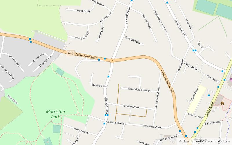
Map
Facts and practical information
Morriston is a community in the City and County of Swansea, Wales and falls within the Morriston ward. It is the largest community in Swansea county. ()
Address
TreforysSwansea
ContactAdd
Social media
Add
Getting there by public transportation
Public transportation stops near this location
- Bus
 Bus
Bus
- Calculate routeVicarage Road 2 min walk
- Calculate routeChemical Road Lower 7 min walk
- Calculate routeMorriston Library 8 min walk
Day trips


Frequently Asked Questions (FAQ)
How to get to Morriston by public transport?
The nearest stations to Morriston:
Bus
Bus
- Vicarage Road • Lines: 36 (2 min walk)
- Chemical Road Lower • Lines: 31 (7 min walk)