Swansea Vale, Swansea

Map
Facts and practical information
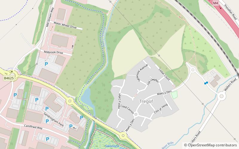
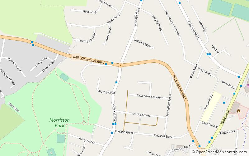
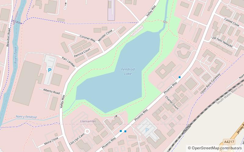
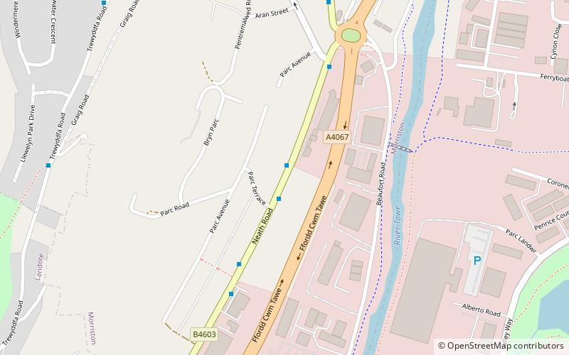
Swansea Vale is a 160-acre mixed used new suburb development site in Swansea, Wales. The area is bounded east by Birchgrove; south by Swansea Enterprise Park, west by the River Tawe and north by the M4 motorway. ()
Coordinates: 51°40'12"N, 3°54'3"W
Address
LlansamletSwansea
ContactAdd
Social media
Add
Day trips
Swansea Vale – popular in the area (distance from the attraction)
Nearby attractions include: Tabernacle Chapel, Morriston, Swansea Enterprise Park, Trewyddfa.
Frequently Asked Questions (FAQ)
How to get to Swansea Vale by public transport?
The nearest stations to Swansea Vale:
Bus
Train
Bus
- Ysgol Gynradd Gymraeg Lon-las • Lines: 31 (9 min walk)
- Royd House • Lines: 31 (10 min walk)
Train
- Llansamlet (23 min walk)


