Trewyddfa, Swansea
Map
Facts and practical information
Coordinates: 51°39'23"N, 3°55'35"W
Address
TreforysSwansea
ContactAdd
Social media
Add
Getting there by public transportation
Public transportation stops near this location
- Bus
 Bus
Bus
- Calculate routeMartin Street 8 min walk
- Calculate routeParc Llewellyn 14 min walk
- Calculate routeAtlantic Close 14 min walk
- Calculate routeWoodfield Street 14 min walk
Day trips


Frequently Asked Questions (FAQ)
Which popular attractions are close to Trewyddfa?
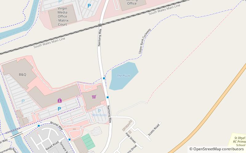
Nearby attractions include Swansea Enterprise Park, Swansea (13 min walk), Tabernacle Chapel, Swansea (13 min walk), Morris Castle, Swansea (18 min walk), Pluck Lake, Swansea (21 min walk).
How to get to Trewyddfa by public transport?
The nearest stations to Trewyddfa:
Bus
Bus
- Martin Street • Lines: 4, 4A, 4B (8 min walk)
- Parc Llewellyn • Lines: 54 (14 min walk)