Jock's Lodge, Edinburgh
Map
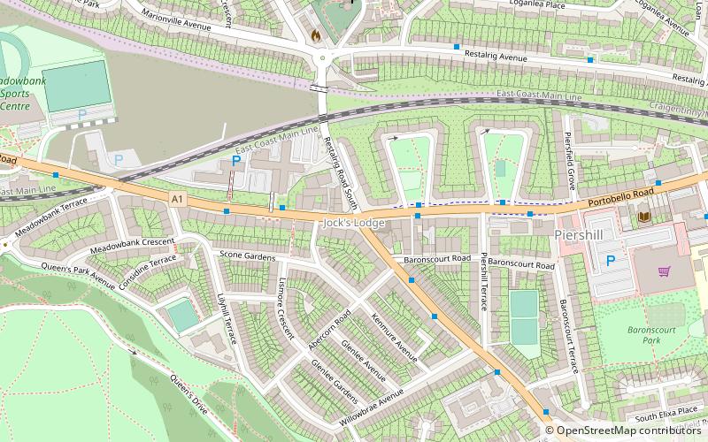
Map

Facts and practical information
Jock's Lodge is an area of Edinburgh, Scotland. It centres on the junction of London Road and Willowbrae Road, Portobello Road and Restalrig Road South and is an alternative name for the Meadowbank / Piershill area. Restalrig village lies to its north. ()
Coordinates: 55°57'18"N, 3°8'57"W
Address
DuddingstonEdinburgh
ContactAdd
Social media
Add
Day trips
Jock's Lodge – popular in the area (distance from the attraction)
Nearby attractions include: Palace of Holyroodhouse, Arthur's Seat, Easter Road Stadium, Queen's Gallery.
Frequently Asked Questions (FAQ)
Which popular attractions are close to Jock's Lodge?
Nearby attractions include Ss Ninian and Triduana's Church, Edinburgh (9 min walk), Restalrig, Edinburgh (12 min walk), Craigentinny Marbles, Edinburgh (13 min walk), The Salt Cave, Edinburgh (13 min walk).
How to get to Jock's Lodge by public transport?
The nearest stations to Jock's Lodge:
Bus
Bus
- Piershill Square West • Lines: 124, 26, 4 (2 min walk)
- Meadowbank House • Lines: 124, 26, 4, 44, X5 (3 min walk)


