The Shakespeare Tavern, Bristol
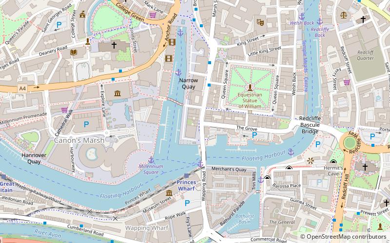
Map
Map

Facts and practical information
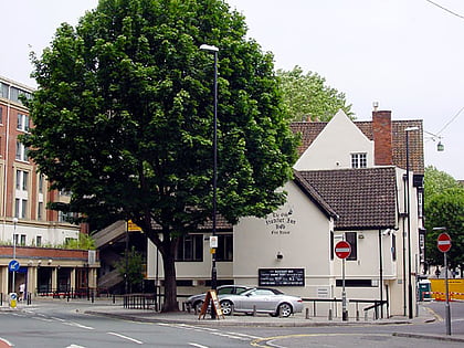
The Shakespeare is an historic pub in Prince Street, Bristol, England. Built in 1725 by the Bristol builder John Strahan as a pair of attached Georgian-style houses, it was converted into a pub in 1777 at which time it supplied refreshment to dock workers at the adjoining port. It has been a grade II* listed building since 1959. ()
Coordinates: 51°26'58"N, 2°35'50"W
Address
68 Prince StreetCabotBristol
Contact
+44 117 929 7695
Social media
Add
Day trips
The Shakespeare Tavern – popular in the area (distance from the attraction)
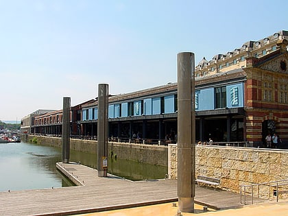
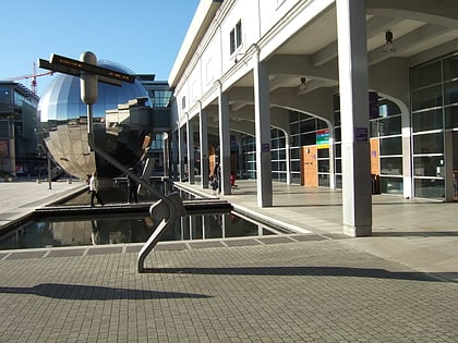
Nearby attractions include: M Shed, Arnolfini, Bristol Cathedral, Redcliffe Caves.
Frequently Asked Questions (FAQ)
Which popular attractions are close to The Shakespeare Tavern?
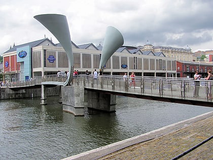
Nearby attractions include Arnolfini, Bristol (1 min walk), Pero's Bridge, Bristol (1 min walk), Prince Street Bridge, Bristol (2 min walk), Bristol Harbour Railway, Bristol (3 min walk).
How to get to The Shakespeare Tavern by public transport?
The nearest stations to The Shakespeare Tavern:
Bus
Ferry
Train
Bus
- Queen Square • Lines: m2 (3 min walk)
- Anchor Road • Lines: 902, 903, Falcon (5 min walk)
Ferry
- Prince Street Bridge • Lines: Hotwells-Centre (3 min walk)
- Millennium Square • Lines: Hotwells-Centre (3 min walk)
Train
- Princes Wharf (3 min walk)
- SS Great Britain (10 min walk)


