Blue Angel, Liverpool
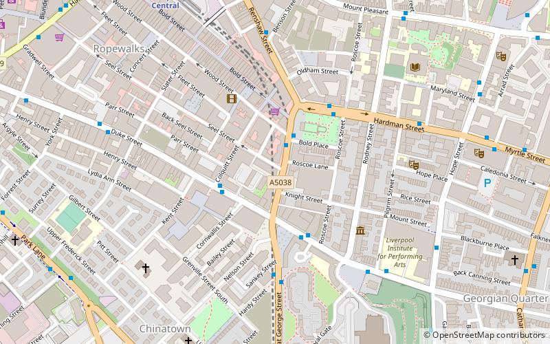
Map
Facts and practical information
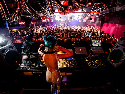
The Blue Angel, also known as "The Raz" is a nightclub in Liverpool, England. It is located where Seel Street meets Berry Street in Liverpool city centre. It is a venue in Liverpool in which The Beatles, Rolling Stones, Bob Dylan and many other bands played at in the 1960s. It was historically a jazz club, but it now plays pop music. ()
Coordinates: 53°24'3"N, 2°58'35"W
Address
106-108 Seel Street, L1 4BLRiversideLiverpool
Contact
+44 151 709 1535
Social media
Add
Day trips
Blue Angel – popular in the area (distance from the attraction)
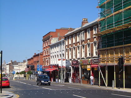
Nearby attractions include: Bold Street, Liverpool Cathedral, Cream, Korova.
Frequently Asked Questions (FAQ)
Which popular attractions are close to Blue Angel?
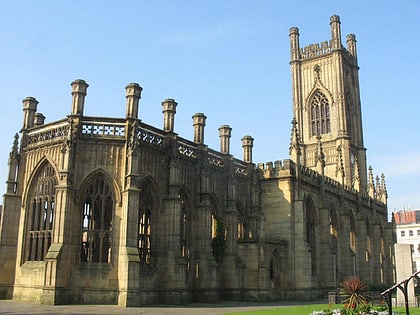
Nearby attractions include Church of St Luke, Liverpool (2 min walk), The Black-E, Liverpool (3 min walk), 59 Rodney Street, Liverpool (4 min walk), St Peter's Roman Catholic Church, Liverpool (4 min walk).
How to get to Blue Angel by public transport?
The nearest stations to Blue Angel:
Train
Bus
Train
- Liverpool Central (8 min walk)
- Liverpool Lime Street (12 min walk)
Bus
- Paradise St Interchange • Lines: 500 (13 min walk)
- Liverpool One (13 min walk)


