The Coronet, London
Map
Gallery
Facts and practical information
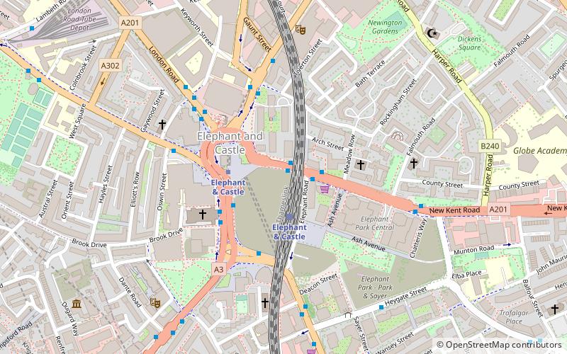
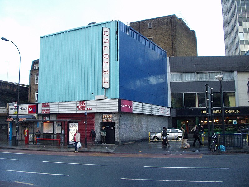
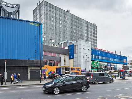
The Coronet Theatre was a large live music and night-club venue with a 2,600 capacity located at 28 New Kent Road in Elephant and Castle, London, England. The historic venue operated as an entertainment venue from 1879 until 2018 and to up to its closure managed to retain all of its art deco features. ()
Coordinates: 51°29'41"N, 0°5'56"W
Address
Southwark (East Walworth)London
Contact
+44 20 7701 1500
Social media
Add
Day trips
The Coronet – popular in the area (distance from the attraction)
Nearby attractions include: Ministry of Sound, Imperial War Museum, East Street Market, Geraldine Mary Harmsworth Park.
Frequently Asked Questions (FAQ)
Which popular attractions are close to The Coronet?
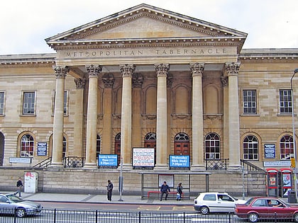
Nearby attractions include One The Elephant, London (2 min walk), Michael Faraday Memorial, London (2 min walk), Metropolitan Tabernacle, London (3 min walk), Strata SE1, London (4 min walk).
How to get to The Coronet by public transport?
The nearest stations to The Coronet:
Train
Metro
Bus
Ferry
Light rail
Train
- Elephant & Castle (2 min walk)
- Waterloo East (20 min walk)
Metro
- Elephant & Castle • Lines: Bakerloo, Northern (3 min walk)
- Borough • Lines: Northern (13 min walk)
Bus
- Hampton Street • Lines: 136, 343, 35, 40, 45, N343, P5 (5 min walk)
- Elephant Park • Lines: 136, 343, N343 (6 min walk)
Ferry
- Bankside Pier • Lines: Green Tour, Rb1, Rb1X, Rb2 (25 min walk)
- London Bridge City Pier • Lines: Rb1, Rb1X, Rb2, Rb6 (27 min walk)
Light rail
- Bank Platform 9 • Lines: B-L, B-Wa (33 min walk)
- Tower Gateway Platform 1 • Lines: Tg-B (39 min walk)
 Tube
Tube


