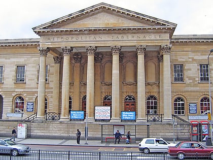
Walcot Square, London
Map
Gallery
Facts and practical information
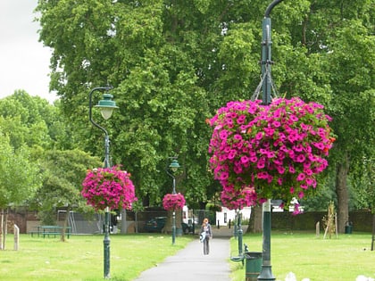
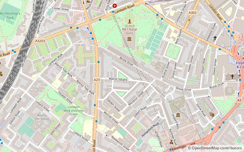
Walcot Square is an 18th century garden triangle in Central London. The "square" is in the London Borough of Lambeth and has a very rare triangular shape. Since 1968 in planning policy it is a Conservation Area. Three rows of houses front its communal green, granted Grade II listed status under the statutory protective and recognition scheme in 1981. ()
Elevation: 23 ft a.s.l.Coordinates: 51°29'39"N, 0°6'33"W
Address
Lambeth (Prince's)London
ContactAdd
Social media
Add
Day trips
Walcot Square – popular in the area (distance from the attraction)
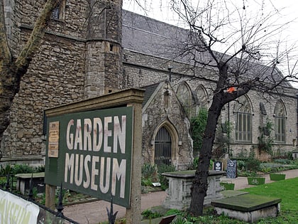
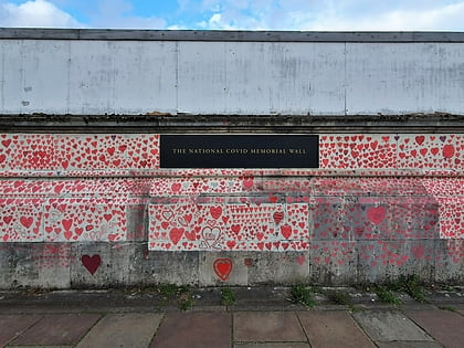
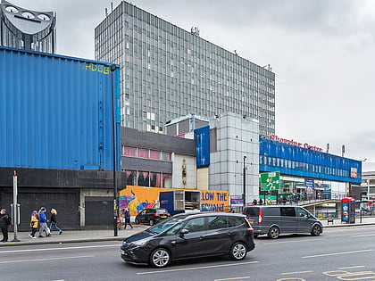
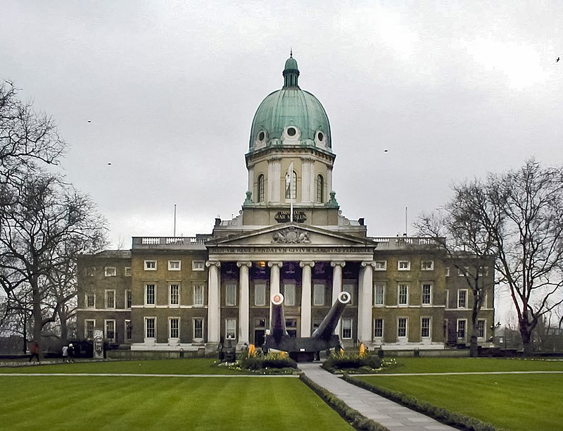
Nearby attractions include: Ministry of Sound, Imperial War Museum, Garden Museum, National Covid Memorial Wall.
Frequently Asked Questions (FAQ)
Which popular attractions are close to Walcot Square?
Nearby attractions include Imperial War Museum, London (4 min walk), Geraldine Mary Harmsworth Park, London (4 min walk), The Cinema Museum, London (6 min walk), Lambeth Walk, London (6 min walk).
How to get to Walcot Square by public transport?
The nearest stations to Walcot Square:
Metro
Train
Bus
Ferry
Metro
- Lambeth North • Lines: Bakerloo (10 min walk)
- Elephant & Castle • Lines: Bakerloo, Northern (10 min walk)
Train
- Elephant & Castle (12 min walk)
- London Waterloo (16 min walk)
Bus
- Hampton Street • Lines: 136, 343, 35, 40, 45, N343, P5 (13 min walk)
- Heygate Street • Lines: 12, 148, 171, 176, 468, 68, N171, N68, N89 (13 min walk)
Ferry
- Millbank Millennium Pier • Lines: Rb2 (18 min walk)
- Westminster Pier • Lines: Blue Tour, Green Tour, Rb1, Rb1X, Rb2, Red Tour (21 min walk)

 Tube
Tube

