Walworth Town Hall, London
Map
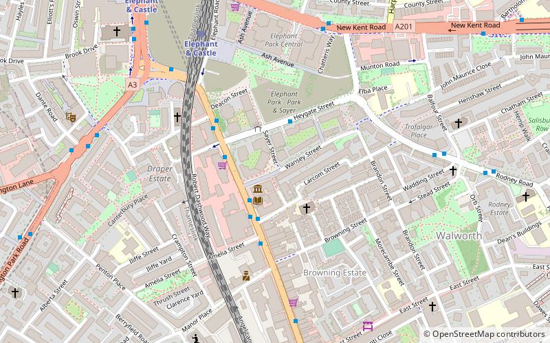
Map

Facts and practical information
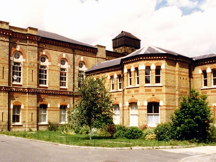
Walworth Town Hall is a municipal building in Walworth Road, Southwark, London. It is a Grade II listed building. It was built for the vestry of the parish of Newington, opening as the Newington Vestry Hall in 1865. When Newington became part of the Metropolitan Borough of Southwark in 1900 the building served as Southwark Town Hall. It ceased to be a headquarters of local government in 1965 when the London Borough of Southwark was created. ()
Coordinates: 51°29'29"N, 0°5'47"W
Address
Larcom StreetSouthwark (East Walworth)London
ContactAdd
Social media
Add
Day trips
Walworth Town Hall – popular in the area (distance from the attraction)
Nearby attractions include: Ministry of Sound, Imperial War Museum, East Street Market, The Coronet.
Frequently Asked Questions (FAQ)
Which popular attractions are close to Walworth Town Hall?
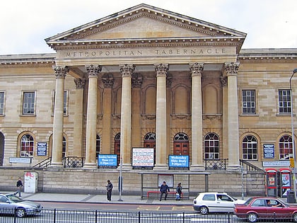
Nearby attractions include The Cuming Museum, London (1 min walk), Strata SE1, London (5 min walk), One The Elephant, London (6 min walk), Metropolitan Tabernacle, London (8 min walk).
How to get to Walworth Town Hall by public transport?
The nearest stations to Walworth Town Hall:
Bus
Train
Metro
Ferry
Bus
- Elephant Park • Lines: 136, 343, N343 (2 min walk)
- Heygate Street • Lines: 12, 148, 171, 176, 468, 68, N171, N68, N89 (2 min walk)
Train
- Elephant & Castle (6 min walk)
- Waterloo East (27 min walk)
Metro
- Elephant & Castle • Lines: Bakerloo, Northern (9 min walk)
- Kennington • Lines: Northern (13 min walk)
Ferry
- London Bridge City Pier • Lines: Rb1, Rb1X, Rb2, Rb6 (31 min walk)
- London Eye - Waterloo Pier • Lines: Rb1, Rb1X, Rb2, Red Tour (34 min walk)

 Tube
Tube


