Holborn Circus, London
Map
Gallery
Facts and practical information
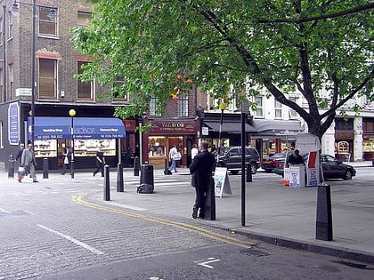
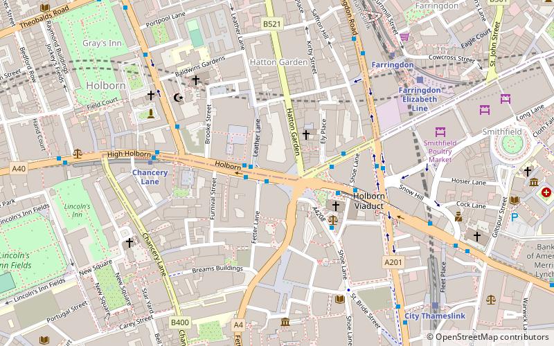
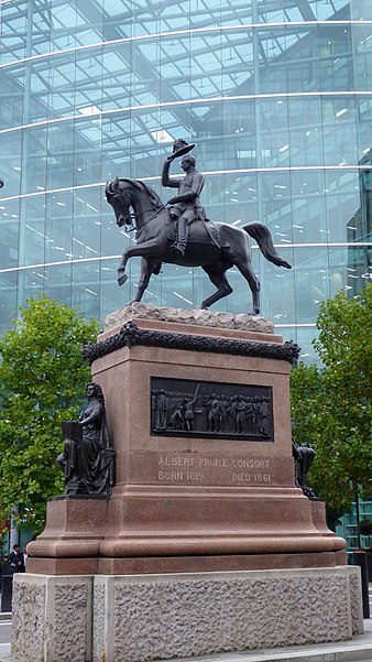
Holborn Circus is a five-way junction at the western extreme of the City of London, specifically between Holborn and its Hatton Garden part. Its main, east–west, route is the inchoate A40 road. It was designed by the engineer William Haywood and opened in 1867. The term circus describes how the frontages of the buildings facing curved round in a concave chamfer. These, in part replaced with glass and metal-clad buildings, remain well set back. ()
Coordinates: 51°31'4"N, 0°6'30"W
Address
Camden (Holborn and Covent Garden)London
ContactAdd
Social media
Add
Day trips
Holborn Circus – popular in the area (distance from the attraction)
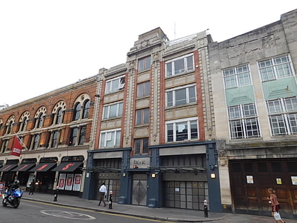
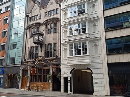
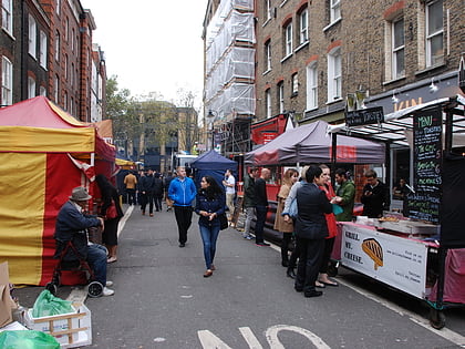
Nearby attractions include: Fabric, Hatton Garden, Cittie of Yorke, Leather Lane.
Frequently Asked Questions (FAQ)
Which popular attractions are close to Holborn Circus?
Nearby attractions include Holborn Bars, London (2 min walk), St Andrew Holborn, London (3 min walk), Royal Fusiliers War Memorial, London (3 min walk), City Temple, London (3 min walk).
How to get to Holborn Circus by public transport?
The nearest stations to Holborn Circus:
Bus
Metro
Train
Ferry
Light rail
Bus
- Holborn Circus / Fetter Lane • Lines: N242 (1 min walk)
- Chancery Lane Station • Lines: N242 (5 min walk)
Metro
- Chancery Lane • Lines: Central (5 min walk)
- Farringdon • Lines: Circle, Hammersmith & City, Metropolitan (6 min walk)
Train
- City Thameslink (7 min walk)
- London Blackfriars (15 min walk)
Ferry
- Blackfriars Pier • Lines: Rb6 (16 min walk)
- Bankside Pier • Lines: Green Tour, Rb1, Rb1X, Rb2 (21 min walk)
Light rail
- Bank Platform 10 • Lines: B-L, B-Wa (25 min walk)

 Tube
Tube