Whitton Methodist Church, Feltham
Map
Facts and practical information
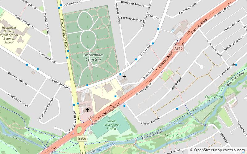
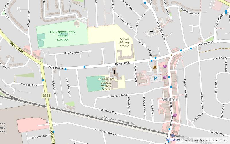
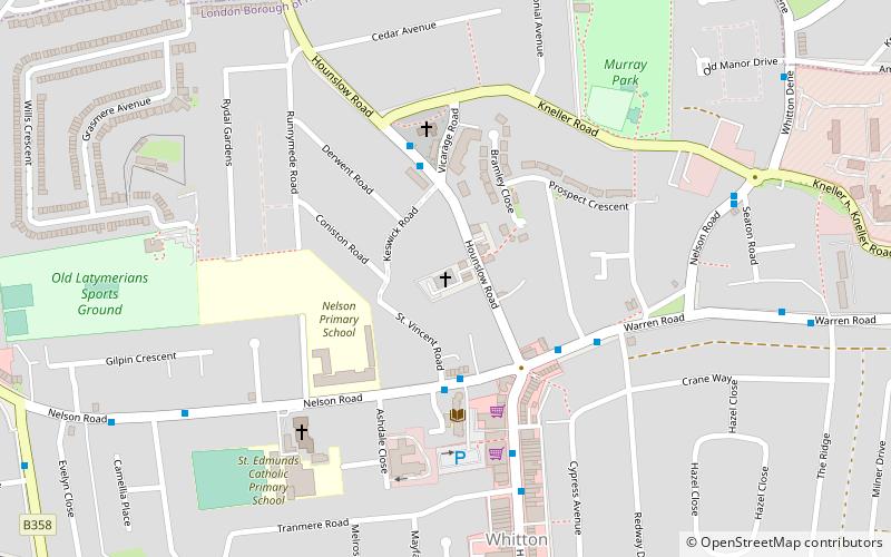
Whitton Methodist Church was a Methodist church on Percy Road, Whitton in the London Borough of Richmond upon Thames. ()
Coordinates: 51°26'42"N, 0°21'43"W
Address
Richmond upon Thames (Whitton)Feltham
ContactAdd
Social media
Add
Getting there by public transportation
Public transportation stops near this location
- Bus
- Train
 Bus
Bus
- Calculate routeRyecroft Avenue 1 min walk
- Calculate routeSelkirk Road 3 min walk
- Calculate routeWhitton Corner Health & Social Care Centre 4 min walk
- Calculate routePauline Crescent 5 min walk
- Calculate routeWhitton 10 min walk
- Calculate routeFulwell 24 min walk
- Calculate routeStrawberry Hill 27 min walk
Day trips


Frequently Asked Questions (FAQ)
Which popular attractions are close to Whitton Methodist Church?
Nearby attractions include Twickenham Cemetery, Feltham (4 min walk), St Edmund of Canterbury, Feltham (14 min walk), Whitton, London (14 min walk), Crane Park, London (15 min walk).
How to get to Whitton Methodist Church by public transport?
The nearest stations to Whitton Methodist Church:
Bus
Train
Bus
- Ryecroft Avenue • Lines: 110, H22 (1 min walk)
- Selkirk Road • Lines: 969 (3 min walk)
Train
- Whitton (10 min walk)
- Fulwell (24 min walk)