Crane Park, London
Map
Gallery
Facts and practical information
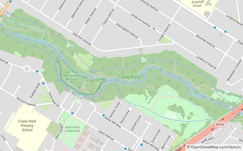
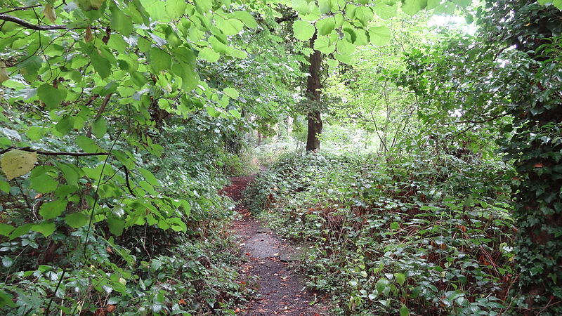
Crane Park Island is a Local Nature Reserve in Twickenham in the London Borough of Richmond upon Thames. It is also part of The Crane Corridor Site of Metropolitan Importance for Nature Conservation. The site is an island in the River Crane, which is owned by Richmond upon Thames London Borough Council and managed by the London Wildlife Trust. The entrance is next to the Shot Tower in Crane Park. ()
Elevation: 69 ft a.s.l.Coordinates: 51°26'36"N, 0°22'31"W
Address
Ellerman AvenueRichmond upon Thames (Whitton)London TW2 6AA
Contact
+44 845 456 2796
Social media
Add
Day trips
Crane Park – popular in the area (distance from the attraction)
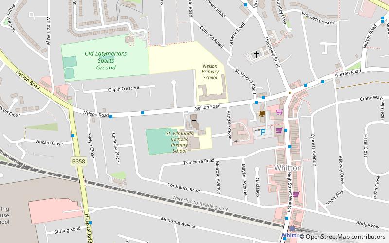
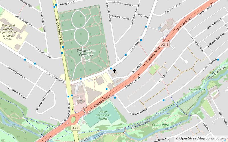
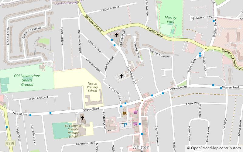
Nearby attractions include: St George's Church, St Francis De Sales, St Edmund of Canterbury, Whitton Methodist Church.
Frequently Asked Questions (FAQ)
Which popular attractions are close to Crane Park?
Nearby attractions include Crane Park, London (1 min walk), Borough Cemetery, Hounslow (11 min walk), Free Grace Baptist Church, London (12 min walk), Twickenham Cemetery, Feltham (14 min walk).
How to get to Crane Park by public transport?
The nearest stations to Crane Park:
Bus
Train
Bus
- Shore Grove • Lines: H25 (4 min walk)
- Norman House • Lines: H25 (5 min walk)
Train
- Whitton (23 min walk)
- Fulwell (33 min walk)

 Tube
Tube

