Twickenham Cemetery, Feltham
Map
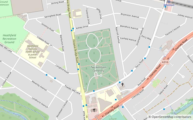
Map

Facts and practical information
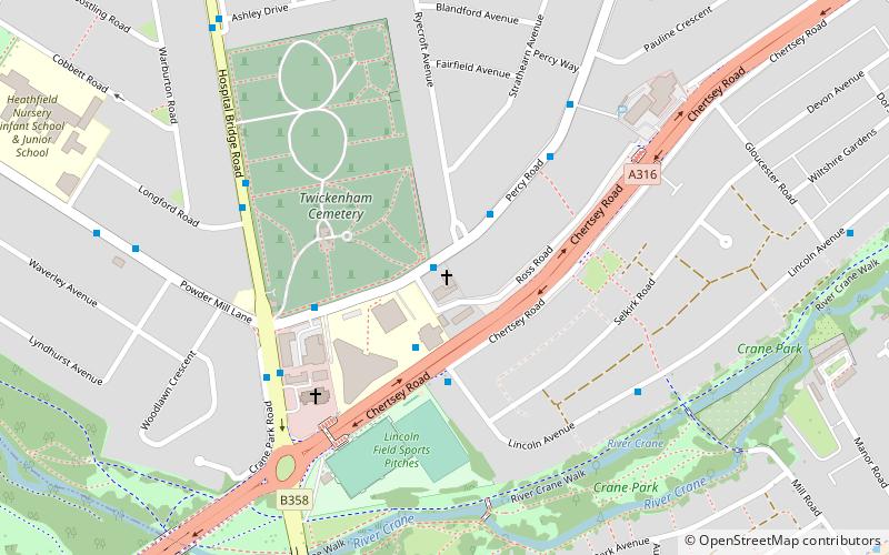
Twickenham Cemetery is a cemetery at Hospital Bridge Road, Whitton in the London Borough of Richmond upon Thames. It was established in 1868 and was expanded in the 1880s when the local parish churchyards were closed to new burials. ()
Coordinates: 51°26'47"N, 0°21'51"W
Address
Richmond upon Thames (Whitton)Feltham
ContactAdd
Social media
Add
Day trips
Twickenham Cemetery – popular in the area (distance from the attraction)
Nearby attractions include: Twickenham Stadium, Twickenham Stoop, Teddington Cemetery, St Francis De Sales.
Frequently Asked Questions (FAQ)
Which popular attractions are close to Twickenham Cemetery?
Nearby attractions include Whitton Methodist Church, Feltham (4 min walk), St Edmund of Canterbury, Feltham (12 min walk), Borough Cemetery, Hounslow (13 min walk), Crane Park, London (14 min walk).
How to get to Twickenham Cemetery by public transport?
The nearest stations to Twickenham Cemetery:
Bus
Train
Bus
- Ryecroft Avenue • Lines: 110, H22 (4 min walk)
- Longford Road • Lines: 110, 481 (4 min walk)
Train
- Whitton (10 min walk)
- Fulwell (28 min walk)

