Polhill Anglo-Saxon cemetery, Kent Downs
Map
Facts and practical information
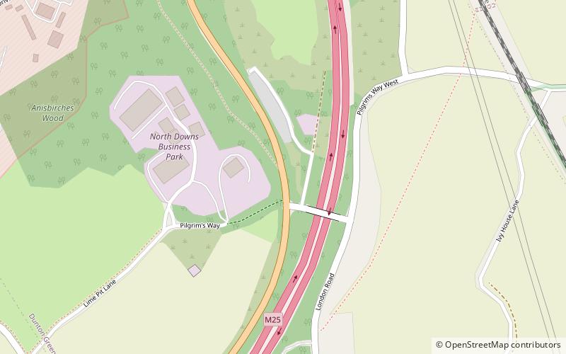
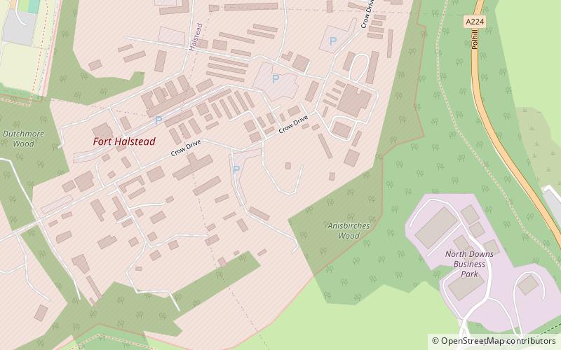
Polhill Anglo-Saxon cemetery is a place of burial that was used in the seventh and eighth centuries CE. It is located close to the hamlet of Polhill, near Sevenoaks in Kent, South-East England. Belonging to the Middle Anglo-Saxon period, it was part of the much wider tradition of burial in Early Anglo-Saxon England. ()
Coordinates: 51°18'34"N, 0°9'30"E
Address
Kent Downs
ContactAdd
Social media
Add
Getting there by public transportation
Public transportation stops near this location
- Bus
- Train
 Bus
Bus
- Calculate routeRose and Crown 19 min walk
- Calculate routeMotorway Bridge 21 min walk
- Calculate routeVillage Hall 22 min walk
- Calculate routeDunton Green 27 min walk
Day trips


Frequently Asked Questions (FAQ)
How to get to Polhill Anglo-Saxon cemetery by public transport?
The nearest stations to Polhill Anglo-Saxon cemetery:
Bus
Train
Bus
- Rose and Crown • Lines: 3, S31, S32, S33, S34 (19 min walk)
- Motorway Bridge • Lines: 3, S31, S32, S33, S34 (21 min walk)
Train
- Dunton Green (27 min walk)