Pall Mall, London
Map
Map

Facts and practical information
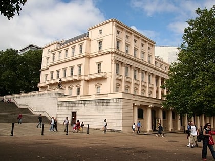
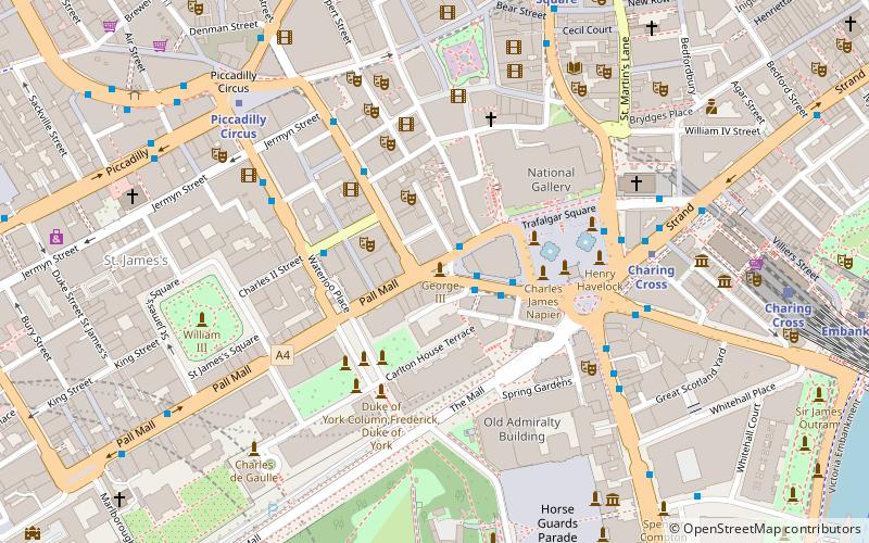
Pall Mall is a street in the St James's area of the City of Westminster, Central London. It connects St James's Street to Trafalgar Square and is a section of the regional A4 road. The street's name is derived from pall-mall, a ball game played there during the 17th century, which in turn is derived from the Italian pallamaglio, literally ball-mallet. ()
Address
City of Westminster (St. James's)London
ContactAdd
Social media
Add
Day trips
Pall Mall – popular in the area (distance from the attraction)
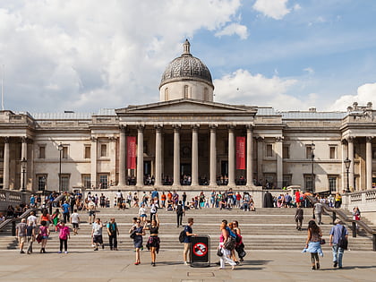
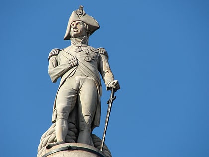
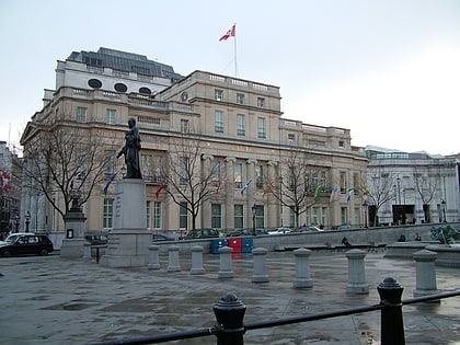
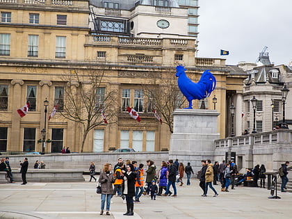
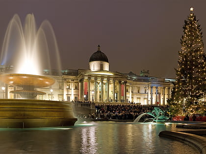
Nearby attractions include: National Gallery, Trafalgar Square, Nelson's Column, Canada House.
Frequently Asked Questions (FAQ)
Which popular attractions are close to Pall Mall?
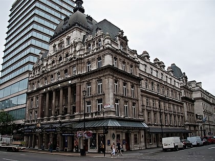
Nearby attractions include Her Majesty's Theatre, London (2 min walk), Charles II Street, London (2 min walk), Theatre Royal Haymarket, London (2 min walk), Guards Crimean War Memorial, London (3 min walk).
How to get to Pall Mall by public transport?
The nearest stations to Pall Mall:
Bus
Metro
Train
Ferry
Bus
- Trafalgar Square / Charing Cross Station • Lines: N26 (4 min walk)
- Charing Cross Station • Lines: N26 (6 min walk)
Metro
- Charing Cross • Lines: Bakerloo, Northern (5 min walk)
- Piccadilly Circus • Lines: Bakerloo, Piccadilly (6 min walk)
Train
- Charing Cross (8 min walk)
- London Waterloo (22 min walk)
Ferry
- Embankment • Lines: Green Tour, Rb1, Rb1X, Rb2, Rb6 (11 min walk)
- Westminster Pier • Lines: Blue Tour, Green Tour, Rb1, Rb1X, Rb2, Red Tour (14 min walk)

 Tube
Tube