Sheepleas, East Horsley

Gallery (1)
Map
Map
Facts and practical information
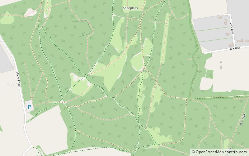
Sheepleas is a 99.9-hectare biological and geological Site of Special Scientific Interest east of Guildford in Surrey. It is a Geological Conservation Review site and a Local Nature Reserve. It is owned by Surrey County Council and managed by the Surrey Wildlife Trust. ()
Elevation: 436 ft a.s.l.Coordinates: 51°15'11"N, 0°26'28"W
Address
Clandon and Horsley (West Horsley)East Horsley
ContactAdd
Social media
Add
Day trips