Pavis Wood, Chiltern Hills
Map

Map

Facts and practical information
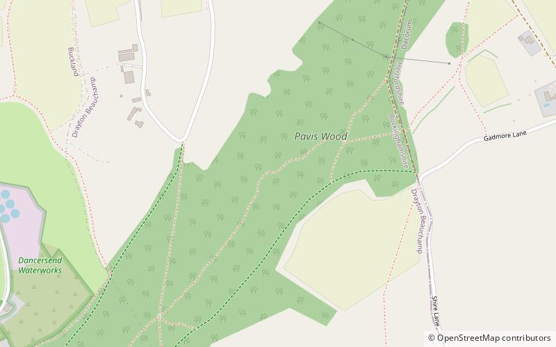
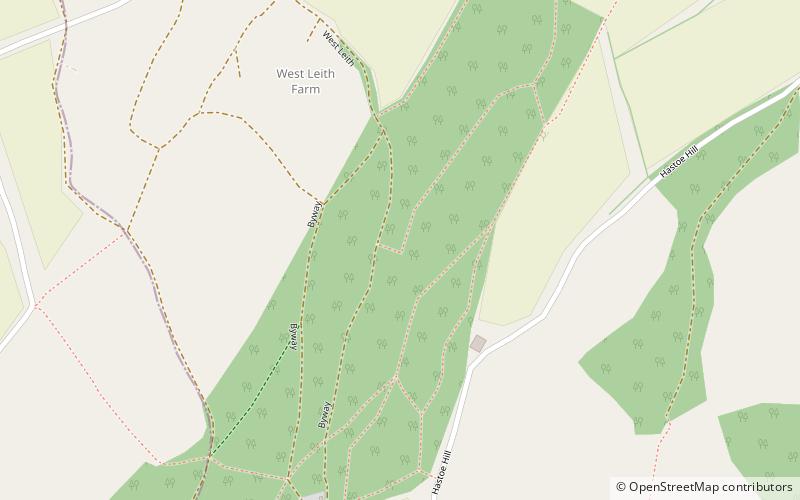
Pavis Wood is an area of woodland on a hill located near Hastoe in Tring, north-western Hertfordshire, England. A point on its eastern slopes is the highest point in the county of Hertfordshire at 244 m. The area is often considered as ancient woodland containing a wide variety of plants such as the yellow pimpernel and wood melick. A bridleway crosses the woodland which can be accessed throughout the year as well as the Ridgeway National Trail which is dominated mainly by beech, oak and ash. ()
Coordinates: 51°46'27"N, 0°40'51"W
Address
Chiltern Hills
ContactAdd
Social media
Add
Day trips
Pavis Wood – popular in the area (distance from the attraction)
Nearby attractions include: Natural History Museum at Tring, Tring Park, Dancersend, Tring Woodlands.
Frequently Asked Questions (FAQ)
Which popular attractions are close to Pavis Wood?
Nearby attractions include Tring Woodlands, Chiltern Hills (16 min walk), Dancersend, Chiltern Hills (20 min walk).


