Chiltern Forest, Chiltern Hills
Map

Map

Facts and practical information
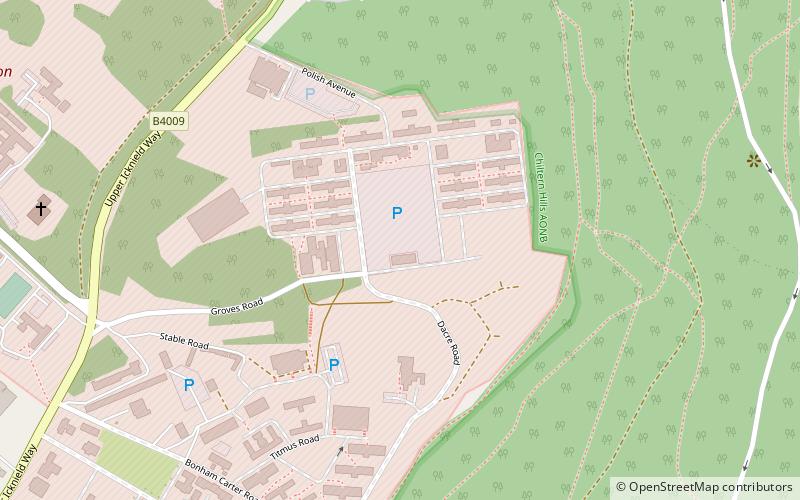
The Chiltern Forest is a large expanse of woodland that covers part of the Chiltern Hills in south east England. The area is forested mainly with beech trees, though these are not indigenous to the local area. The native hard woods were almost completely deforested in the Eighteenth century for the furniture industry of High Wycombe. Beech trees were planted as they are a hard wood that grows faster than any of the area's native woods. ()
Coordinates: 51°47'24"N, 0°42'32"W
Address
Chiltern Hills
ContactAdd
Social media
Add
Day trips
Chiltern Forest – popular in the area (distance from the attraction)
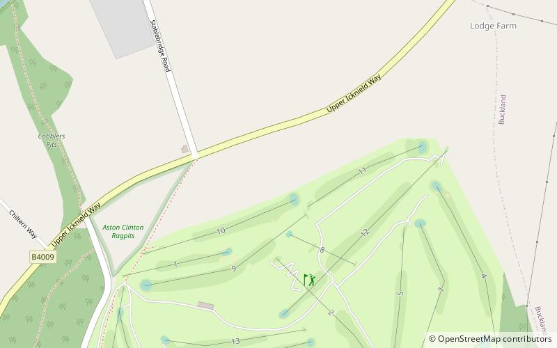
Nearby attractions include: Aston Clinton Ragpits, Haddington Hill, Pavis Wood, Aston Hill Mountain Bike Area.
Frequently Asked Questions (FAQ)
Which popular attractions are close to Chiltern Forest?
Nearby attractions include Aston Clinton Ragpits, Chiltern Hills (6 min walk), Aston Hill Mountain Bike Area, Chiltern Hills (16 min walk).


