Seller's Wood, Nottingham
Map
Facts and practical information
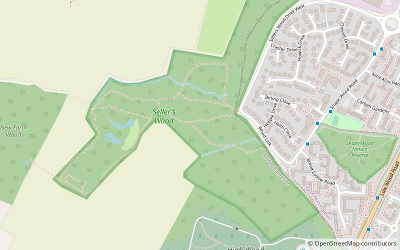
Seller's Wood is a Site of Special Scientific Interest on the northern outskirts of Nottingham, England. There are several wildlife ponds within the site - formed out of old clay workings excavated by for use by local brickworks, long since closed. Entrance is from Sellers Wood Drive, Bulwell. ()
Elevation: 272 ft a.s.l.Coordinates: 53°0'11"N, 1°13'19"W
Address
Nottingham
ContactAdd
Social media
Add
Getting there by public transportation
Public transportation stops near this location
- Bus
- Tram
- Train
 Bus
Bus
- Calculate routeCenturion Business Centre 9 min walk
- Calculate routeTyco 9 min walk
- Calculate routeMicro-mesh 10 min walk
- Calculate routeWiddowson Close 11 min walk
- Calculate routeBulwell 29 min walk
- Calculate routePhoenix Park 30 min walk
- Calculate routeCinderhill 34 min walk
- Calculate routeBulwell 29 min walk
Day trips


Frequently Asked Questions (FAQ)
How to get to Seller's Wood by public transport?
The nearest stations to Seller's Wood:
Bus
Tram
Train
Bus
- Centurion Business Centre • Lines: 68A, 69A (9 min walk)
- Tyco • Lines: 68A, 69A (9 min walk)
Tram
- Bulwell • Lines: 1 (29 min walk)
- Phoenix Park • Lines: 2 (30 min walk)
Train
- Bulwell (29 min walk)