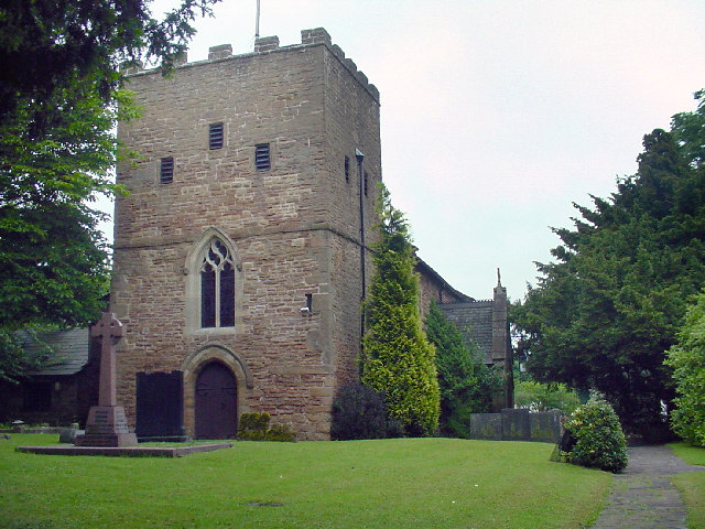
St Patrick's Church, Nottingham
Map
Gallery
Facts and practical information
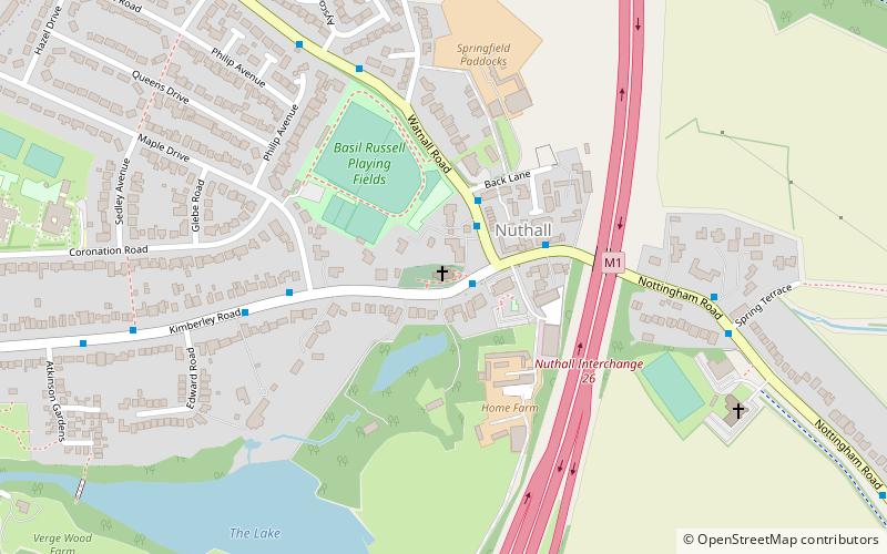
St Patrick's Church, Nuthall is a Grade II* listed parish church in the Church of England in Nuthall. ()
Coordinates: 52°59'42"N, 1°14'4"W
Day trips
St Patrick's Church – popular in the area (distance from the attraction)
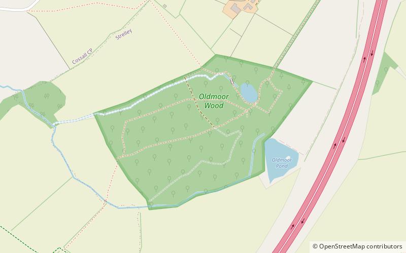
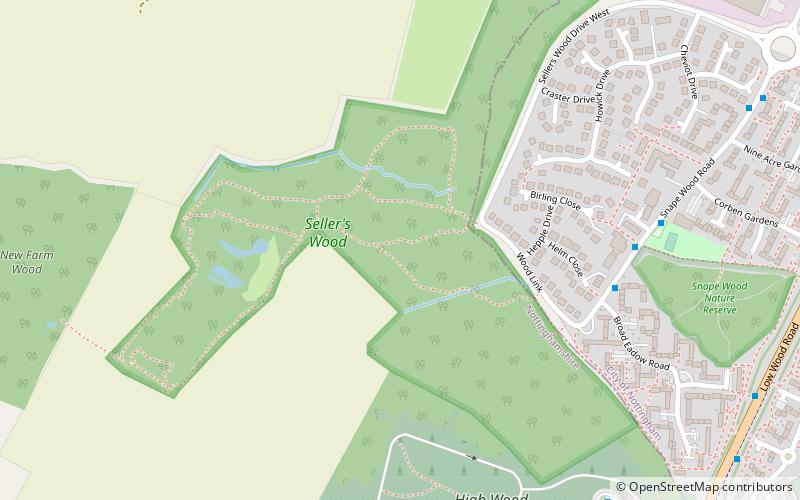
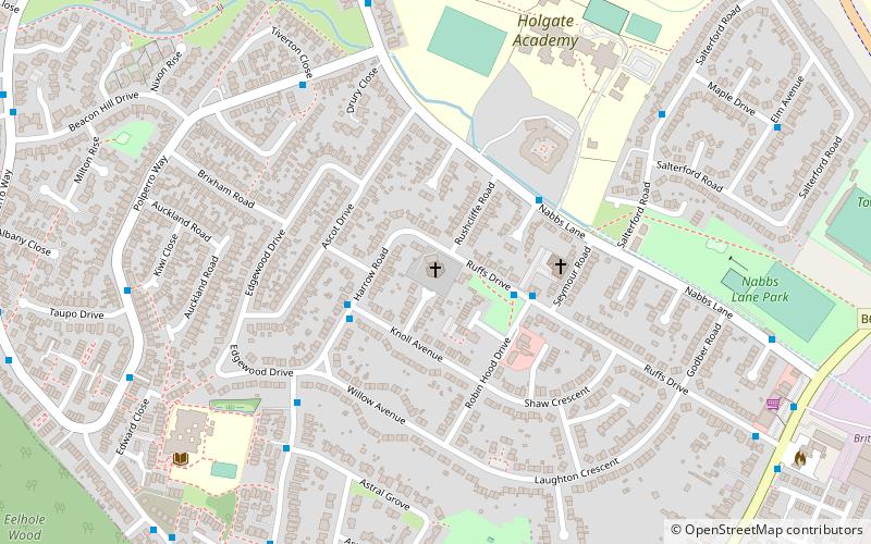
Nearby attractions include: All Saints' Church, St Mary's Church, Christ Church, Oldmoor Wood.
Frequently Asked Questions (FAQ)
How to get to St Patrick's Church by public transport?
The nearest stations to St Patrick's Church:
Bus
Tram
Bus
- Church • Lines: 531, Rainbow 1 (1 min walk)
- Oak Drive • Lines: 531, 532, Amberline (11 min walk)
Tram
- Phoenix Park • Lines: 2 (32 min walk)


