Leen Valley, Nottingham
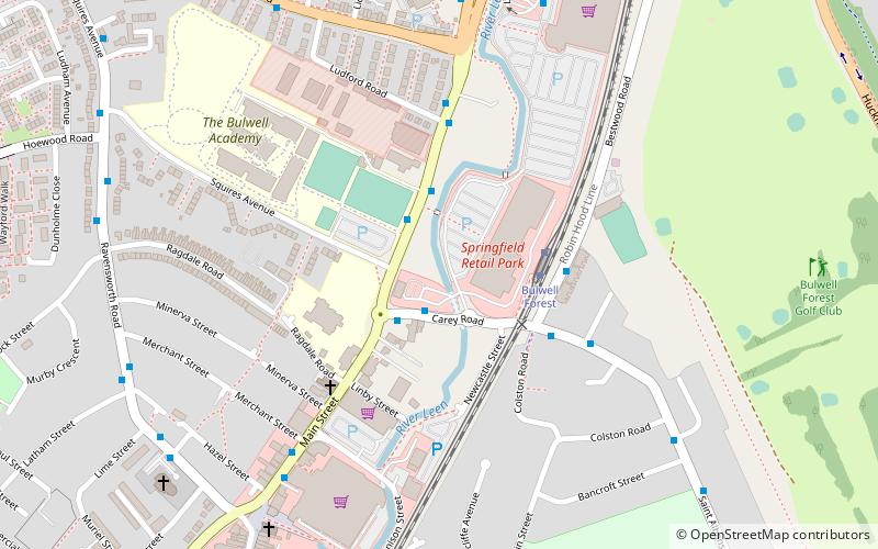
Map

Map

Facts and practical information
The Leen Valley is the wide valley formed by the River Leen within the county of Nottinghamshire. ()
Coordinates: 53°0'21"N, 1°11'32"W
Day trips
Leen Valley – popular in the area (distance from the attraction)
Nearby attractions include: Church of St John the Divine, Seller's Wood, Church of St Mary the Virgin and All Souls, Highbury Vale.
Frequently Asked Questions (FAQ)
Which popular attractions are close to Leen Valley?
Nearby attractions include Church of St John the Divine, Nottingham (9 min walk), Bulwell, Nottingham (10 min walk), Church of St Mary the Virgin and All Souls, Nottingham (11 min walk), Moor Bridge tram stop, Nottingham (14 min walk).
How to get to Leen Valley by public transport?
The nearest stations to Leen Valley:
Bus
Tram
Train
Bus
- Carey Road • Lines: 17 (2 min walk)
- Squires Avenue • Lines: 70, 71, 728, 79, L6, N68, S34 (2 min walk)
Tram
- Bulwell Forest • Lines: 1 (3 min walk)
- Bulwell • Lines: 1 (13 min walk)
Train
- Bulwell (12 min walk)


