Romford Garden Suburb, Romford
Map
Facts and practical information
Romford Garden Suburb is a late-Edwardian housing development in Gidea Park, in the London Borough of Havering. The object of the new suburb, which was built on land belonging to Gidea Hall, then occupied by the Liberal politician Herbert Raphael, was, according to his parliamentary colleague John Burns, to "provide families with a well-built, modern home regardless of class or status" and "to bring the towns into the country and the country into the towns". ()
Coordinates: 51°35'24"N, 0°11'33"E
Address
Havering (Gidea Park)Romford
ContactAdd
Social media
Add
Getting there by public transportation
Public transportation stops near this location
- Bus
- Train
 Bus
Bus
- Calculate routeRepton Avenue 9 min walk
- Calculate routeHail & Ride Marshalls Park Academy 10 min walk
- Calculate routeBalgores Lane 11 min walk
- Calculate routeGidea Park 21 min walk
- Calculate routeRomford 30 min walk
Day trips


Frequently Asked Questions (FAQ)
Which popular attractions are close to Romford Garden Suburb?
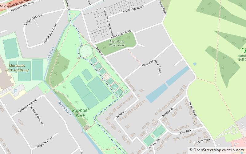
Nearby attractions include Raphael Park, London (4 min walk), Gidea Park, Romford (12 min walk), Rise Park, Romford (15 min walk), Lodge Farm Park, Romford (16 min walk).
How to get to Romford Garden Suburb by public transport?
The nearest stations to Romford Garden Suburb:
Bus
Train
Bus
- Repton Avenue • Lines: 174, 347, 498, 686, N86 (9 min walk)
- Hail & Ride Marshalls Park Academy • Lines: 499 (10 min walk)
Train
- Gidea Park (21 min walk)
- Romford (30 min walk)