Roxeth, Uxbridge
Map
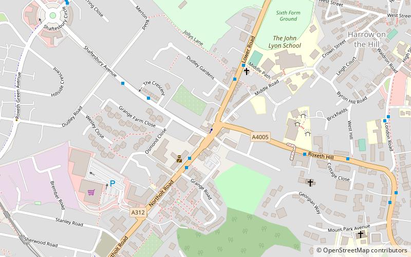
Map

Facts and practical information
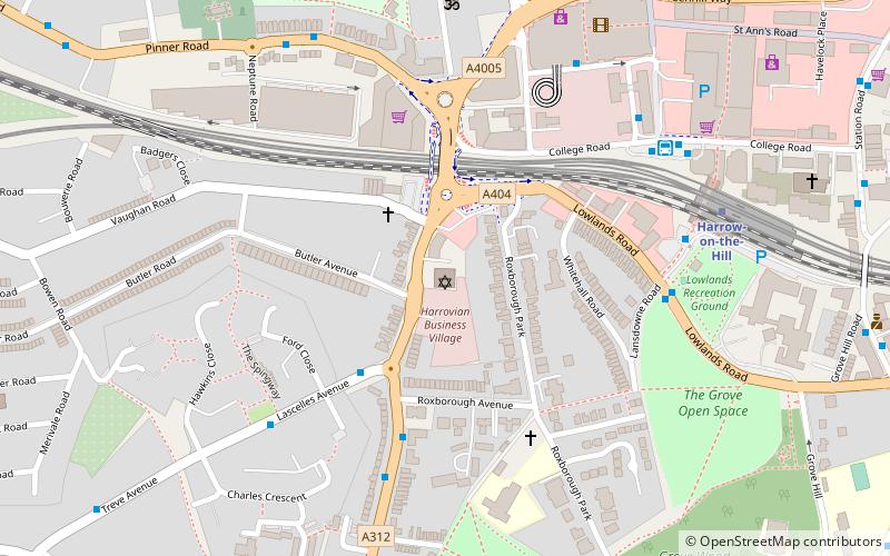
Roxeth was a hamlet in the ancient Harrow on the Hill parish, which now forms part of the London Borough of Harrow in Greater London, England. ()
Coordinates: 51°34'9"N, 0°20'51"W
Address
Harrow (Harrow on the Hill)Uxbridge
ContactAdd
Social media
Add
Day trips
Roxeth – popular in the area (distance from the attraction)
Nearby attractions include: St Mary's Church, St. Anns Shopping Centre, Our Lady and St Thomas of Canterbury, Playgolf London.
Frequently Asked Questions (FAQ)
Which popular attractions are close to Roxeth?
Nearby attractions include South Harrow, London (9 min walk), St Mary's Church, London (15 min walk), Our Lady and St Thomas of Canterbury, London (15 min walk), Mosaic Reform Synagogue, London (18 min walk).
How to get to Roxeth by public transport?
The nearest stations to Roxeth:
Bus
Metro
Train
Bus
- Grange Road • Lines: 114, 140, 258, 395, 640, H10, H9, N140 (2 min walk)
- Dudley Gardens • Lines: 395, H10, H9 (4 min walk)
Metro
- West Harrow • Lines: Metropolitan (20 min walk)
- Harrow-on-the-Hill • Lines: Metropolitan (22 min walk)
Train
- Sudbury Hill Harrow (23 min walk)
- Northolt Park (25 min walk)


