Lenziemill, Cumbernauld
Map

Gallery

Facts and practical information
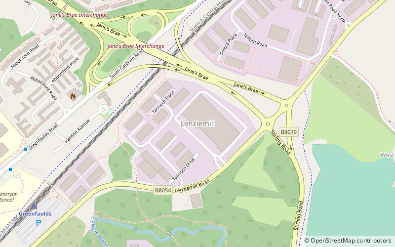
Lenziemill is the site one of Cumbernauld's several industrial estates, built as satellite developments on the periphery of the Scottish town's residential areas. ()
Elevation: 351 ft a.s.l.Coordinates: 55°56'13"N, 3°59'11"W
Address
Cumbernauld
ContactAdd
Social media
Add
Day trips
Lenziemill – popular in the area (distance from the attraction)
Nearby attractions include: Cumbernauld town centre, Antonine Centre, Blairlinn, Cumbernauld College.
Frequently Asked Questions (FAQ)
Which popular attractions are close to Lenziemill?
Nearby attractions include Blairlinn, Cumbernauld (12 min walk), Carbrain, Cumbernauld (13 min walk), Cumbernauld College, Cumbernauld (19 min walk), Seafar, Cumbernauld (23 min walk).
How to get to Lenziemill by public transport?
The nearest stations to Lenziemill:
Train
Train
- Greenfaulds (8 min walk)
- Cumbernauld (11 min walk)


