Seafar, Cumbernauld
Map

Map

Facts and practical information
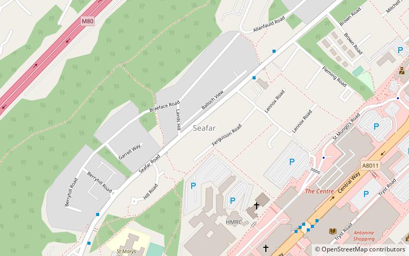
Seafar is an area of the town of Cumbernauld. The original Seafar sand pit and farm were in the middle of what is now the A8011. Early in the new town's history Seafar was more distinct from Ravenswood and Muirhead than it now is possibly due to the building schedule and signage on paths. Recently Seafar is more dominant, perhaps because neither Ravenswood nor Muirhead appear on road signs. ()
Coordinates: 55°56'57"N, 3°59'41"W
Address
Cumbernauld
ContactAdd
Social media
Add
Day trips
Seafar – popular in the area (distance from the attraction)
Nearby attractions include: Cumbernauld town centre, Dullatur Golf Club, Antonine Centre, Cumbernauld House.
Frequently Asked Questions (FAQ)
Which popular attractions are close to Seafar?
Nearby attractions include Cumbernauld College, Cumbernauld (7 min walk), Carbrain, Cumbernauld (14 min walk), Kildrum, Cumbernauld (23 min walk), Lenziemill, Cumbernauld (23 min walk).
How to get to Seafar by public transport?
The nearest stations to Seafar:
Train
Train
- Cumbernauld (20 min walk)
- Greenfaulds (26 min walk)


