Carbrain, Cumbernauld


Facts and practical information
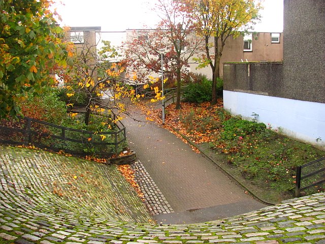
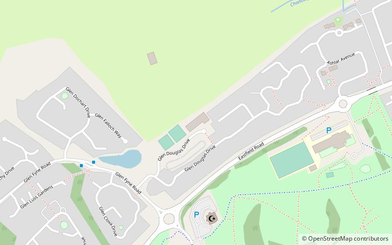
Carbrain /kar 'bren/ is a neighbourhood in Cumbernauld, North Lanarkshire in Scotland. It gets a brief mention on William Roy's eighteenth century map of the Scottish Lowlands. In the nineteenth century it was no more than a farm steading. An early map shows just a few buildings existed in 1864. By the start of the First World War it had not grown significantly, although there was a school near the railway station. It was sometimes spelled Carbrane. Even in 1956 Carbrain was mostly farmland with a small burn flowing through it. The map seems to show this flowing possibly down the Gully and eventually feeding the Red Burn in the Vault Glen. This burn isn't named so can't be identified with the Horseward Burn from historic maps. ()
Cumbernauld
Carbrain – popular in the area (distance from the attraction)
Nearby attractions include: Cumbernauld town centre, Dullatur Golf Club, Antonine Centre, Cumbernauld House.
Frequently Asked Questions (FAQ)
Which popular attractions are close to Carbrain?
How to get to Carbrain by public transport?
Train
- Cumbernauld (6 min walk)
- Greenfaulds (19 min walk)


