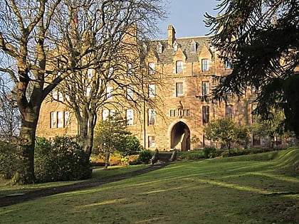
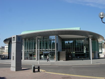
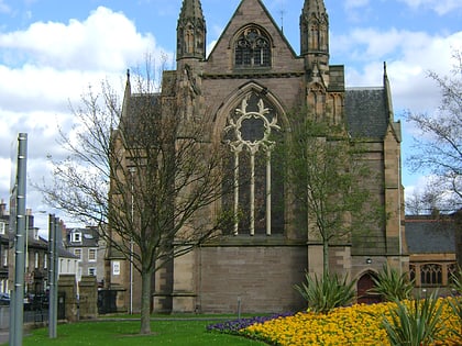
Perth City Hall, Perth
Map
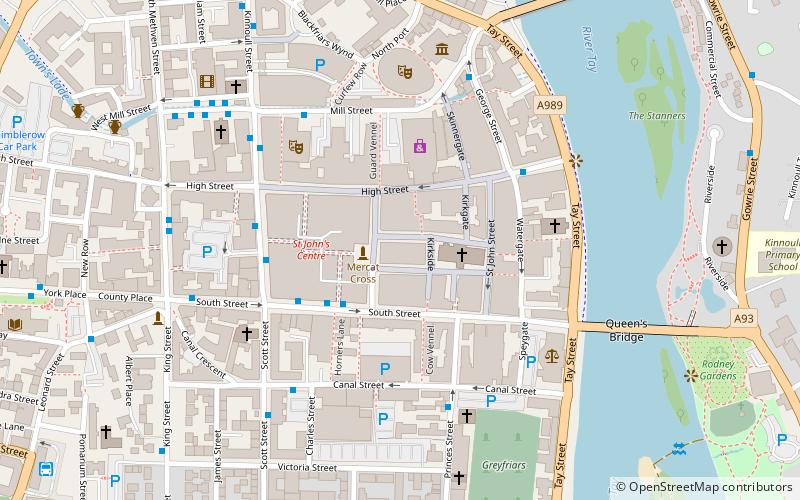
Map

Facts and practical information
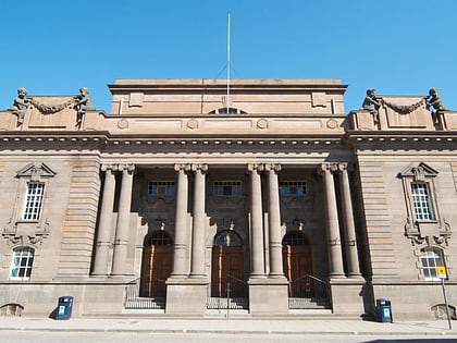
Perth City Hall is an events facility in King Edward Street, Perth, Scotland. It is a Category B listed building. Built in 1914, it closed in 2005 and underwent a major renovation, beginning in 2018, including the introduction of a museum in part of the building. ()
Coordinates: 56°23'45"N, 3°25'46"W
Address
Perth
ContactAdd
Social media
Add
Day trips
Perth City Hall – popular in the area (distance from the attraction)
Nearby attractions include: Perth Leisure Pool, Kinnoull Hill, South Inch, Perth Museum and Art Gallery.
Frequently Asked Questions (FAQ)
Which popular attractions are close to Perth City Hall?
Nearby attractions include Perth Theatre, Perth (3 min walk), Perth Concert Hall, Perth (4 min walk), Perth Museum and Art Gallery, Perth (5 min walk), Perth Charterhouse, Perth (6 min walk).
How to get to Perth City Hall by public transport?
The nearest stations to Perth City Hall:
Bus
Train
Bus
- Perth, Scott Street • Lines: 11, 12, 13, 3, 5, 6 (3 min walk)
- South Street • Lines: 11, 12, 16, 2, 3, 7, 9 (3 min walk)
Train
- Perth (12 min walk)
