South Bristol, Bristol

Map
Facts and practical information
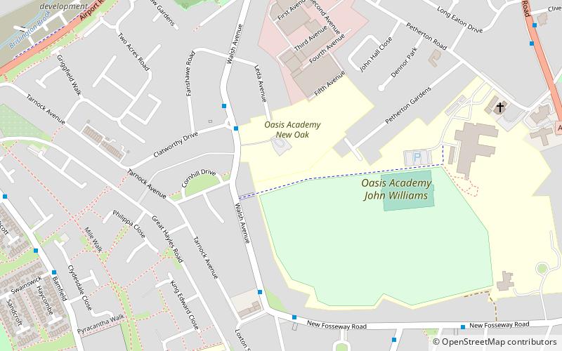
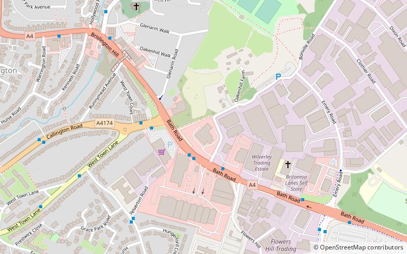
South Bristol is the part of Bristol, England south of the Bristol Avon. It is almost entirely made up of the areas of the city historically in Somerset, and since the abolition of the county Avon, consists of the southern suburbs in the county of Bristol. Definitions sometimes also include areas of North Somerset, including Long Ashton, Nailsea and Backwell. ()
Coordinates: 51°25'12"N, 2°34'12"W
Address
HengroveBristol
ContactAdd
Social media
Add
Day trips
South Bristol – popular in the area (distance from the attraction)
Nearby attractions include: St Luke's Church, Brislington, Brislington West, Counterslip Baptist Church.
Frequently Asked Questions (FAQ)
Which popular attractions are close to South Bristol?
Nearby attractions include Counterslip Baptist Church, Bristol (14 min walk), Knowle West, Bristol (22 min walk).
How to get to South Bristol by public transport?
The nearest stations to South Bristol:
Bus
Bus
- Clatworthy Drive • Lines: 92 (3 min walk)
- Loxton Square • Lines: 92 (5 min walk)


