St Luke's Church, Bristol
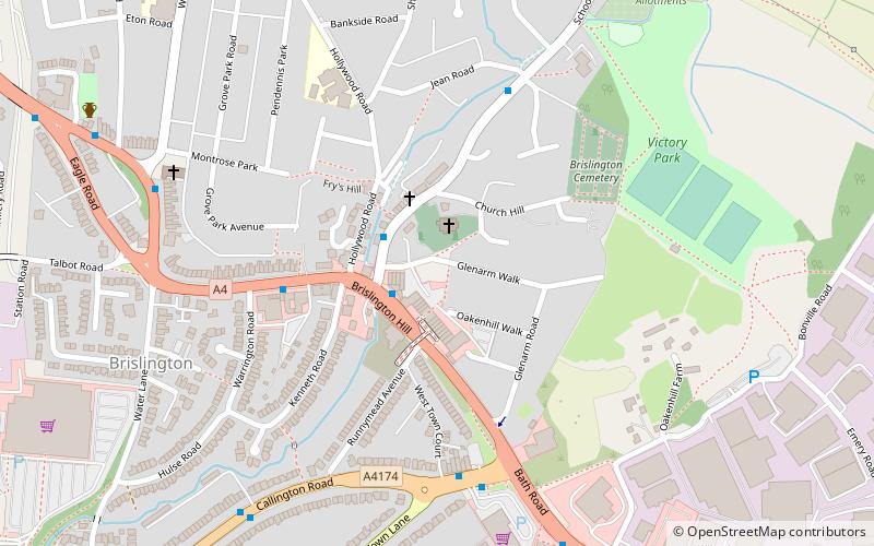
Map

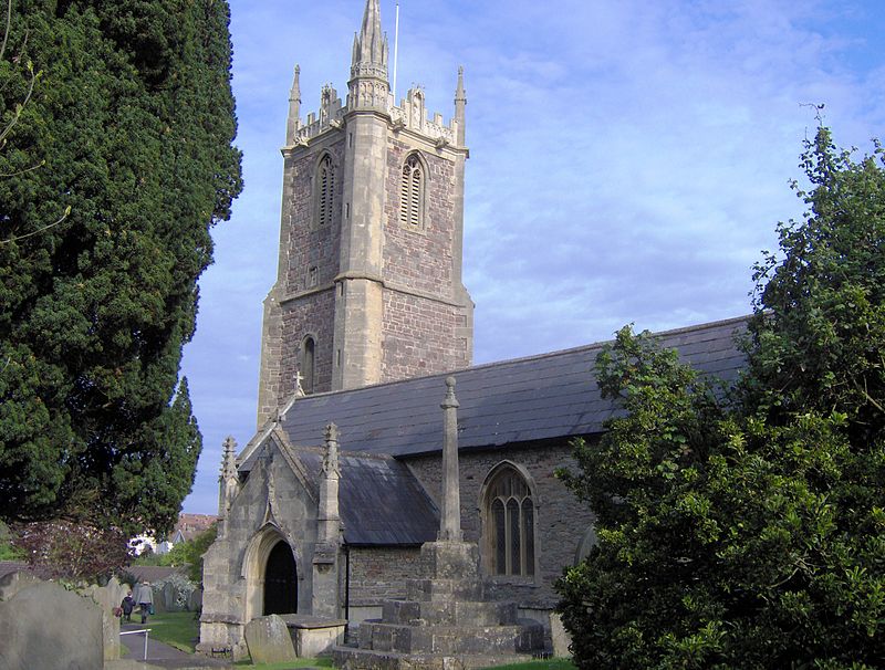
Gallery

Facts and practical information
The Parish Church of St Luke The Evangelist Church Parade, Brislington area of Bristol, England. ()
Coordinates: 51°26'3"N, 2°32'49"W
Day trips
St Luke's Church – popular in the area (distance from the attraction)
Nearby attractions include: Arno's Court Triumphal Arch, Arnos Vale Cemetery, Bristol Feeder Canal, Brislington.
Frequently Asked Questions (FAQ)
Which popular attractions are close to St Luke's Church?
Nearby attractions include Brislington, Bristol (6 min walk), Brislington West, Bristol (7 min walk), Arno's Court Triumphal Arch, Bristol (20 min walk), Totterdown, Bristol (23 min walk).
How to get to St Luke's Church by public transport?
The nearest stations to St Luke's Church:
Bus
Bus
- Broad Walk Shops • Lines: 92 (23 min walk)
- Greenmore Road • Lines: 92 (23 min walk)


