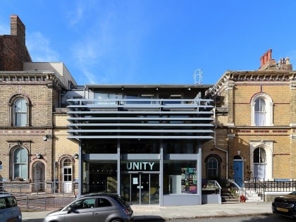
Princes Road, Liverpool
Map
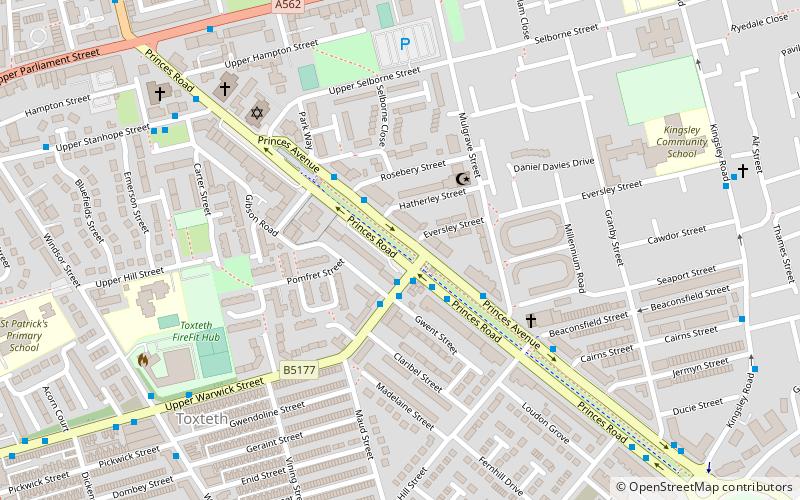
Map

Facts and practical information
Princes Road is a street in Toxteth, Liverpool, England. It runs from a traffic circle at the northern extremity of Princes Park where Croxteth, Devonshire, and Kingsley Roads join, northwest about one kilometre to Upper Parliament Street. It is paralleled along most of its length by Princes Avenue, with a tree-lined strip between them, where there were formerly tram rails. ()
Coordinates: 53°23'36"N, 2°57'43"W
Address
Princes ParkLiverpool
ContactAdd
Social media
Add
Day trips
Princes Road – popular in the area (distance from the attraction)
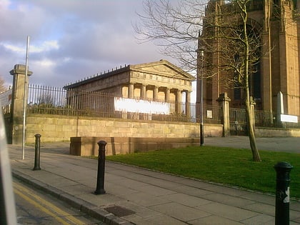
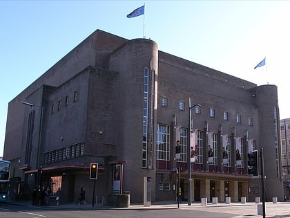
Nearby attractions include: Liverpool Cathedral, The Oratory, Philharmonic Hall, Prince's Park.
Frequently Asked Questions (FAQ)
Which popular attractions are close to Princes Road?
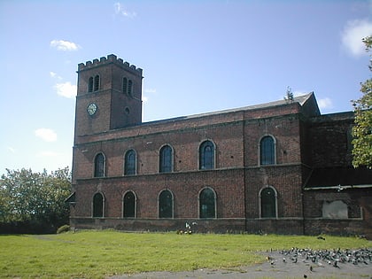
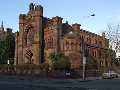
Nearby attractions include Welsh Presbyterian Church, Liverpool (3 min walk), Al-Rahma Mosque, Liverpool (3 min walk), Merseyside Centre for the Deaf, Liverpool (4 min walk), Princes Road Synagogue, Liverpool (5 min walk).
How to get to Princes Road by public transport?
The nearest stations to Princes Road:
Train
Bus
Train
- Edge Hill (23 min walk)
- Brunswick (24 min walk)
Bus
- Pembroke Place Stop P • Lines: 18 (28 min walk)
- London Road/falkland Street Stop H • Lines: 18 (31 min walk)


