Falkner Street, Liverpool
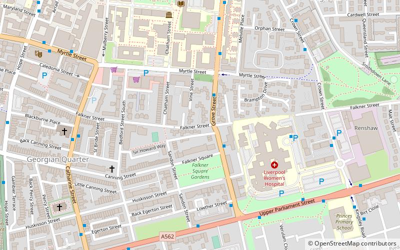
Map
Gallery
Facts and practical information
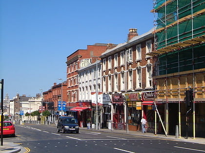
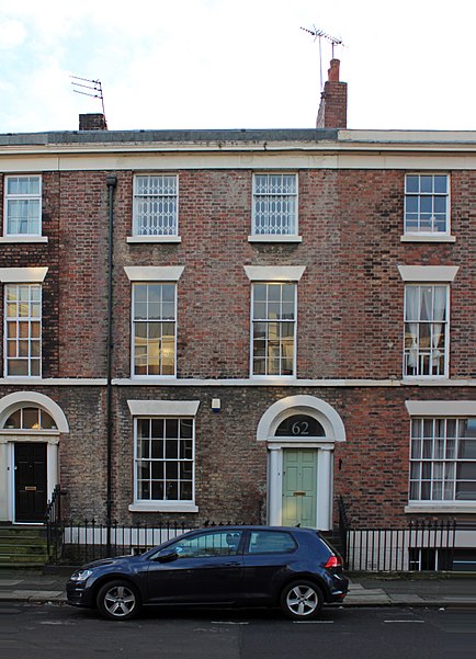
Falkner Street is a street mostly in Canning, with a short section in Edge Hill, Liverpool, England. The street, built during the early-mid 19th century, is named after Edward Falkner, who had previously commissioned the construction Falkner Square. Constructed at a time when Liverpool had less than 100,000 houses, the Falkner Street houses sold for around £1,000 and were affordable to only the wealthiest 1% of the population. ()
Coordinates: 53°23'58"N, 2°57'47"W
Address
Princes ParkLiverpool
ContactAdd
Social media
Add
Day trips
Falkner Street – popular in the area (distance from the attraction)
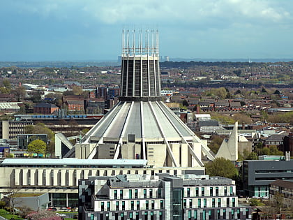
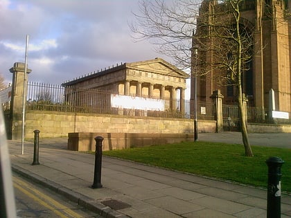
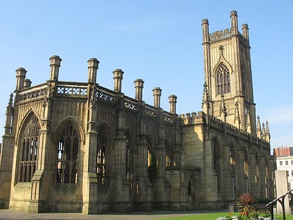
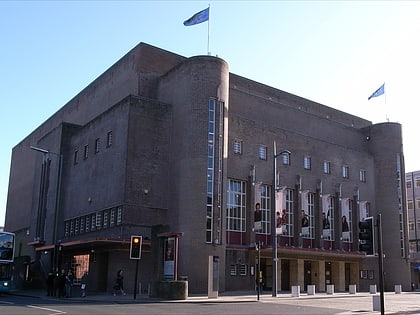
Nearby attractions include: Liverpool Metropolitan Cathedral, The Oratory, Church of St Luke, Philharmonic Hall.
Frequently Asked Questions (FAQ)
Which popular attractions are close to Falkner Street?
Nearby attractions include Falkner Square, Liverpool (3 min walk), Black Merchant Seamen War Memorial, Liverpool (5 min walk), German Church, Liverpool (5 min walk), Saint Philip Neri Church, Liverpool (7 min walk).
How to get to Falkner Street by public transport?
The nearest stations to Falkner Street:
Bus
Train
Bus
- Pembroke Place Stop P • Lines: 18 (18 min walk)
- Prescot Street/Royal Hospital • Lines: 18 (20 min walk)
Train
- Edge Hill (18 min walk)
- Liverpool Central (20 min walk)

