Podsmead, Gloucester
Map

Map

Facts and practical information
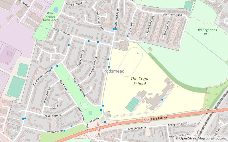
Podsmead is a district of Gloucester approximately one mile from the historic city centre. With the development of Quedgeley and Kingsway Village, Podsmead was becoming absorbed by the city in the early 21st century. The population of this Gloucester Ward was 2,994 at the 2011 Census. It is close to the hamlet of Hempsted. ()
Coordinates: 51°50'27"N, 2°15'17"W
Address
Gloucester
ContactAdd
Social media
Add
Day trips
Podsmead – popular in the area (distance from the attraction)
Nearby attractions include: High Orchard Bridge, Robinswood Hill, St Paul and St Stephen's Church, Tredworth Road Cemetery.
Frequently Asked Questions (FAQ)
Which popular attractions are close to Podsmead?
Nearby attractions include Up Close Photography, Gloucester (11 min walk), St Barnabas Church, Gloucester (14 min walk), St Georges Church, Gloucester (14 min walk), Bristol Road, Gloucester (22 min walk).


