Streatham Park Cemetery, London
Map

Map

Facts and practical information
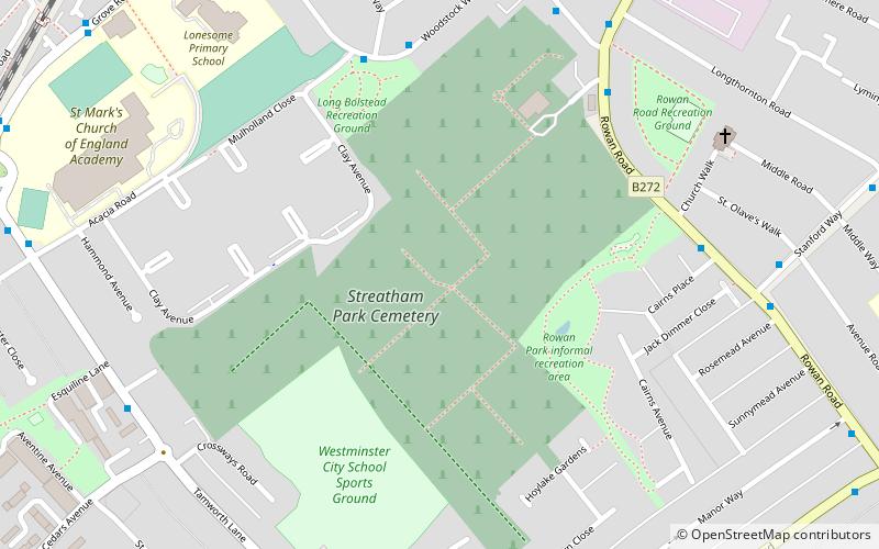
Streatham Park Cemetery is a cemetery and crematorium on Rowan Road in Streatham Vale. It has always been privately owned and managed and is now part of the Dignity_plc group. The South London Crematorium is situated within the cemetery grounds and opened in 1936. ()
Coordinates: 51°24'23"N, 0°8'44"W
Address
Merton (Longthornton)London
ContactAdd
Social media
Add
Day trips
Streatham Park Cemetery – popular in the area (distance from the attraction)
Nearby attractions include: Streatham Common, Figges Marsh, Streatham War Memorial, Mitcham Common.
Frequently Asked Questions (FAQ)
Which popular attractions are close to Streatham Park Cemetery?
Nearby attractions include Oakleigh Way, London (12 min walk), Mitcham Common, London (20 min walk), Figges Marsh, London (22 min walk).
How to get to Streatham Park Cemetery by public transport?
The nearest stations to Streatham Park Cemetery:
Bus
Train
Tram
Bus
- Streatham Park Cemetery • Lines: 118, 152, 463, 60, 633, N133 (6 min walk)
- Stanford Way • Lines: 118, 152, 463, 60, 633, N133 (6 min walk)
Train
- Mitcham Eastfields (11 min walk)
- Streatham Common (25 min walk)
Tram
- Mitcham Junction • Lines: 2, 4 (28 min walk)
- Beddington Lane • Lines: 2, 4 (30 min walk)

 Tube
Tube


