Oakleigh Way, London

Gallery (1)
Map
Map
Facts and practical information
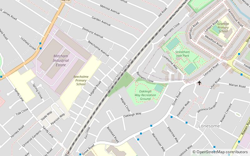
Oakleigh Way is a 0.64 hectare Local Nature Reserve and a Site of Borough Importance for Nature Conservation, Grade II, in Mitcham in the London Borough of Merton. It adjoins Oakleigh Way Recreation Ground, and is owned and managed by Merton Council. ()
Elevation: 85 ft a.s.l.Coordinates: 51°24'45"N, 0°8'57"W
Address
Merton (Longthornton)London
ContactAdd
Social media
Add
Getting there by public transportation
Public transportation stops near this location
- Metro
- Bus
- Tram
- Train
 Metro
Metro
- Calculate routeEbenezer Walk 6 min walk
- Calculate routeWarminster Way 6 min walk
- Calculate routeClay Avenue 6 min walk
- Calculate routeSt Mark's C Of E Academy Playing Fields 7 min walk
- Calculate routeMitcham Eastfields 12 min walk
- Calculate routeStreatham Common 19 min walk
- Calculate routeTooting 19 min walk
- Calculate routeStreatham 31 min walk
- Calculate routeTooting Broadway 34 min walk
- Calculate routeMitcham 36 min walk
Maps Tube
Tube
TubeDay trips


Frequently Asked Questions (FAQ)
Which popular attractions are close to Oakleigh Way?
Nearby attractions include Streatham Park Cemetery, London (12 min walk), Figges Marsh, London (13 min walk).
How to get to Oakleigh Way by public transport?
The nearest stations to Oakleigh Way:
Bus
Train
Metro
Tram
Bus
- Ebenezer Walk • Lines: 463 (6 min walk)
- Warminster Way • Lines: 152, 463, 633 (6 min walk)
Train
- Mitcham Eastfields (12 min walk)
- Streatham Common (19 min walk)
Metro
- Tooting Broadway (34 min walk)
Tram
- Mitcham • Lines: 2, 4 (36 min walk)