Welsh Streets, Liverpool
Map
Gallery
Facts and practical information
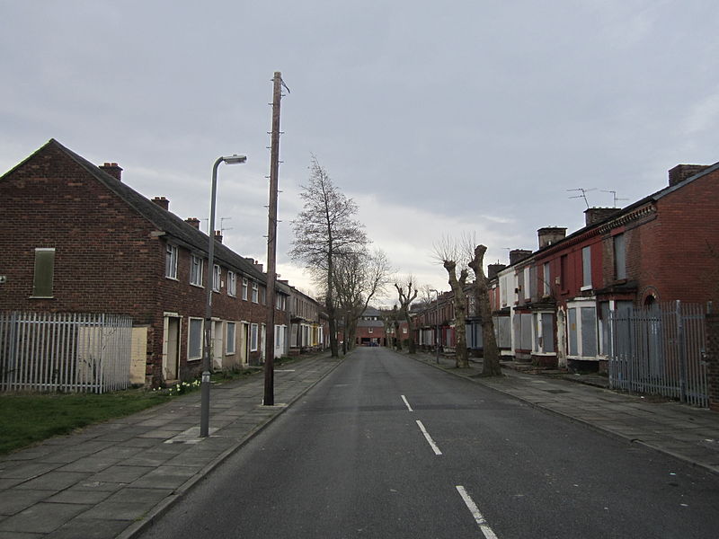
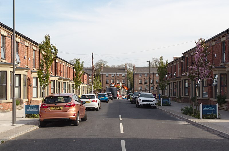
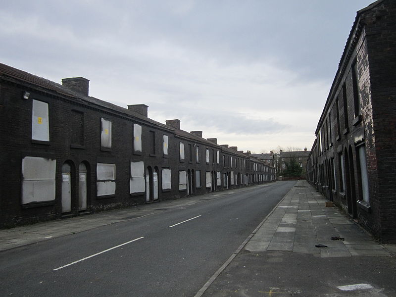
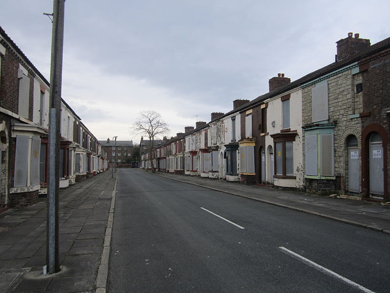
The Welsh Streets are a group of late 19th century Victorian terraced streets in Toxteth, Liverpool, England. The houses were designed by Richard Owens and built by Welsh workers to house migrants from Wales seeking work; the streets were named after Welsh villages and landmarks. ()
Coordinates: 53°23'19"N, 2°57'35"W
Address
Princes ParkLiverpool
ContactAdd
Social media
Add
Day trips
Welsh Streets – popular in the area (distance from the attraction)
Nearby attractions include: Prince's Park, Granby Four Streets, Black Merchant Seamen War Memorial, Al-Rahma Mosque.
Frequently Asked Questions (FAQ)
Which popular attractions are close to Welsh Streets?
Nearby attractions include 10 Admiral Grove, Liverpool (2 min walk), Our Lady of Mount Carmel Roman Catholic Church, Liverpool (7 min walk), Granby Four Streets, Liverpool (8 min walk), Prince's Park, Liverpool (8 min walk).
How to get to Welsh Streets by public transport?
The nearest stations to Welsh Streets:
Train
Bus
Train
- Brunswick (20 min walk)
- St Michaels (24 min walk)
Bus
- Paradise St Interchange • Lines: 500 (38 min walk)
- Liverpool One (38 min walk)


