Outer Pennine Ring, Ashton-under-Lyne
Map

Map

Facts and practical information
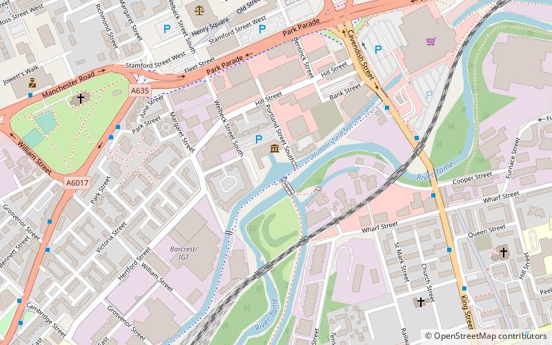
The Outer Pennine Ring is an English canal ring which crosses the Pennines between Manchester, Leeds and Castleford. Its route follows parts of eight canals, and includes the longest canal tunnel in England. The ring was completed in 2001, with the opening of the Huddersfield Narrow Canal. Much of the route is shared with the North Pennine Ring, which crosses the Pennines by a different route on the southern leg. ()
Length: 175 miCoordinates: 53°28'57"N, 2°5'59"W
Address
Tameside (St. Peter's)Ashton-under-Lyne
ContactAdd
Social media
Add
Day trips
Outer Pennine Ring – popular in the area (distance from the attraction)
Nearby attractions include: Ashton Arcades, Ashton Town Hall, St Peter's Church, Dukinfield Town Hall.
Frequently Asked Questions (FAQ)
Which popular attractions are close to Outer Pennine Ring?
Nearby attractions include Ashton Canal, Ashton-under-Lyne (1 min walk), Dukinfield Junction, Ashton-under-Lyne (1 min walk), St Peter's Church, Ashton-under-Lyne (7 min walk), Tameside Hippodrome, Ashton-under-Lyne (10 min walk).
How to get to Outer Pennine Ring by public transport?
The nearest stations to Outer Pennine Ring:
Bus
Tram
Train
Bus
- Ashton-under-Lyne, Cavendish Street / opposite Asda • Lines: 330 (5 min walk)
- Dukinfield, King Street / near Alma Street • Lines: 330 (6 min walk)
Tram
- Ashton-under-Lyne • Lines: Asht, Eccl, Mcuk (14 min walk)
- Ashton West • Lines: Asht, Eccl, Mcuk (17 min walk)
Train
- Ashton-under-Lyne (17 min walk)
- Guide Bridge (21 min walk)


