Earl of Essex, London
Map

Map

Facts and practical information
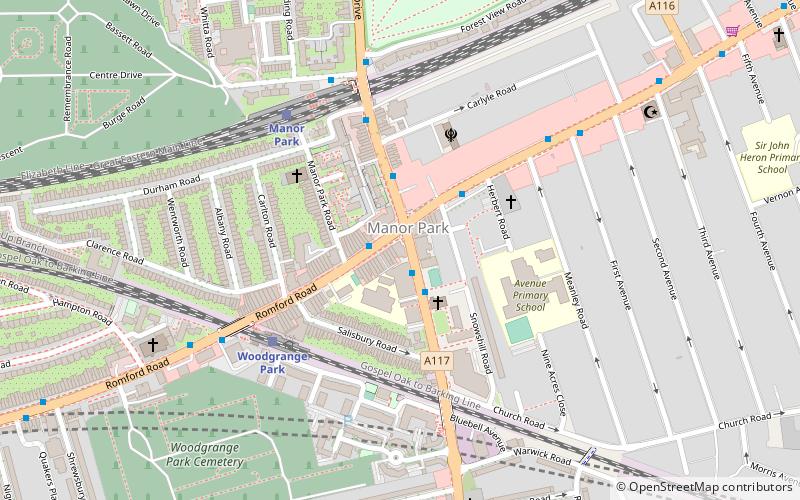
The Earl of Essex is a Grade II listed public house at 616 Romford Road, Manor Park, London. ()
Coordinates: 51°33'1"N, 0°2'51"E
Address
Newham (Manor Park)London
ContactAdd
Social media
Add
Day trips
Earl of Essex – popular in the area (distance from the attraction)
Nearby attractions include: Exchange Ilford, Wanstead Flats, City of London Cemetery and Crematorium, Newham Town Hall.
Frequently Asked Questions (FAQ)
Which popular attractions are close to Earl of Essex?
Nearby attractions include City of London Cemetery and Crematorium, London (16 min walk), Woodgrange Baptist Church, London (22 min walk).
How to get to Earl of Essex by public transport?
The nearest stations to Earl of Essex:
Bus
Train
Metro
Bus
- Romford Road • Lines: 101, 104, 474, W19 (1 min walk)
- High Street North • Lines: 25, 425, 86, N25, N86, W19 (2 min walk)
Train
- Woodgrange Park (4 min walk)
- Manor Park (5 min walk)
Metro
- East Ham • Lines: District, Hammersmith & City (21 min walk)
- Upton Park • Lines: District, Hammersmith & City (31 min walk)

 Tube
Tube


