Mynachdy, Cardiff
Map

Map

Facts and practical information
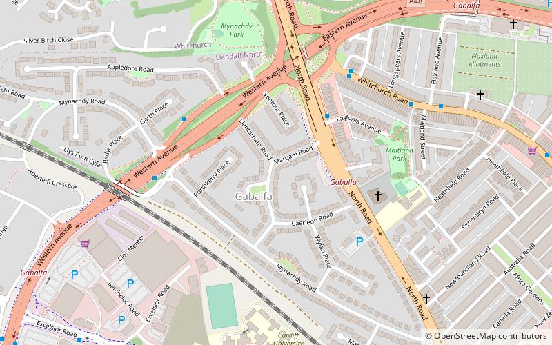
Mynachdy is a district of the city of Cardiff, Wales. Mynachdy is situated between Gabalfa, Birchgrove and Cathays. Mynachdy is often paired with neighbouring Gabalfa, and shares its councillors. It is close to a few universities such as Cardiff University and the Royal Welsh College of Music & Drama, as well as student accommodation. ()
Coordinates: 51°30'9"N, 3°11'57"W
Address
Gogledd Caerdydd (Gabalfa)Cardiff
ContactAdd
Social media
Add
Day trips
Mynachdy – popular in the area (distance from the attraction)
Nearby attractions include: National Museum Cardiff, Llandaff Cathedral, Roath Park, Sophia Gardens.
Frequently Asked Questions (FAQ)
Which popular attractions are close to Mynachdy?
Nearby attractions include Maindy, Cardiff (5 min walk), All Nations Centre, Cardiff (10 min walk), Welch Regiment War Memorial, Cardiff (16 min walk), Cathays Cemetery, Cardiff (20 min walk).
How to get to Mynachdy by public transport?
The nearest stations to Mynachdy:
Bus
Train
Bus
- Mynachdy Road • Lines: 1 (4 min walk)
- Interchange • Lines: 35, 8 (5 min walk)
Train
- Heath Low Level (30 min walk)
- Heath High Level (33 min walk)


