Hawksworth, Leeds
Map
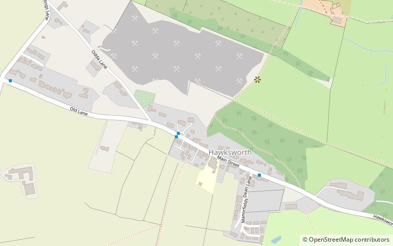
Map

Facts and practical information
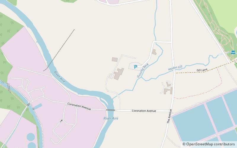
Hawksworth is a village 1 mile west of the town of Guiseley in West Yorkshire, England. It is located to the south of Menston and north of Baildon. ()
Coordinates: 53°52'23"N, 1°45'4"W
Address
AireboroughLeeds
ContactAdd
Social media
Add
Day trips
Hawksworth – popular in the area (distance from the attraction)
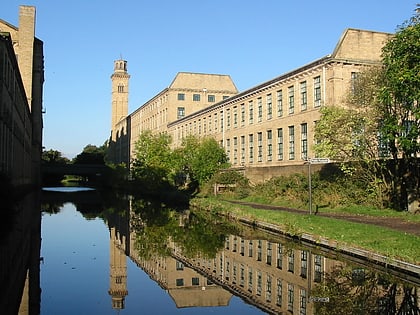
Nearby attractions include: Bracken Hall Countryside Centre and Museum, Salts Mill, The Chevin, Saltaire United Reformed Church.
Frequently Asked Questions (FAQ)
How to get to Hawksworth by public transport?
The nearest stations to Hawksworth:
Bus
Bus
- Hawksworth Drive • Lines: Dash (28 min walk)
- Bradford Road Moorland Crescent • Lines: 33, 34 (29 min walk)


