Clovenstone, Edinburgh
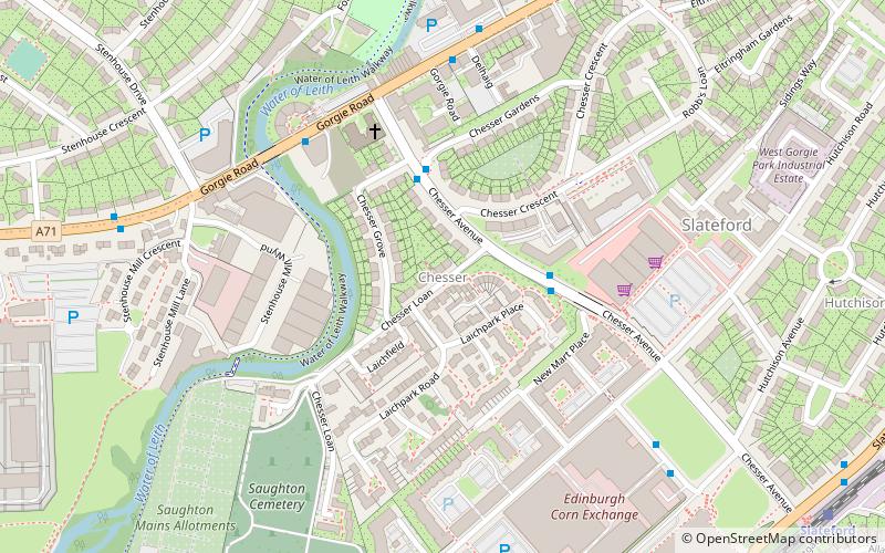
Map
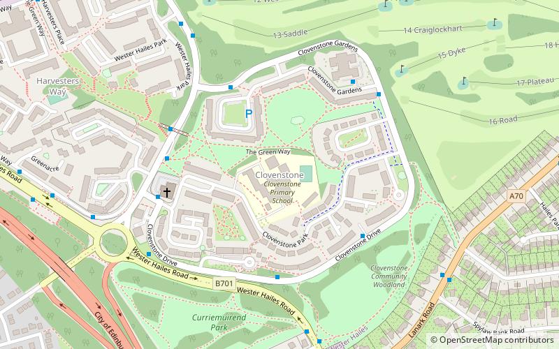
Map

Facts and practical information
Clovenstone is a neighbourhood in southwestern Edinburgh, Scotland. It is adjacent to Wester Hailes and the A720 road. ()
Coordinates: 55°54'42"N, 3°16'26"W
Address
Wester HailesEdinburgh
ContactAdd
Social media
Add
Day trips
Clovenstone – popular in the area (distance from the attraction)
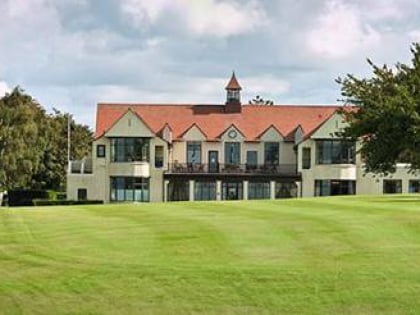
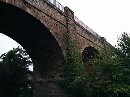
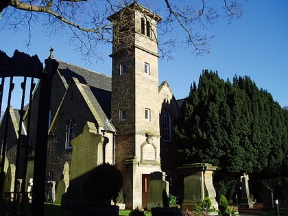
Nearby attractions include: St Joseph's RC Church, Kingsknowe Golf Club, Bankhead, Slateford Aqueduct.
Frequently Asked Questions (FAQ)
Which popular attractions are close to Clovenstone?
Nearby attractions include Wester Hailes, Edinburgh (9 min walk), Kingsknowe, Edinburgh (14 min walk), Colinton Parish Church, Edinburgh (19 min walk).
How to get to Clovenstone by public transport?
The nearest stations to Clovenstone:
Bus
Train
Bus
- Clovenstone Road • Lines: 21, 3, 400 (4 min walk)
- Clovenstone Drive • Lines: 3 (4 min walk)
Train
- Wester Hailes (11 min walk)
- Kingsknowe (16 min walk)


