Old Cavendish Street, London

Gallery (1)
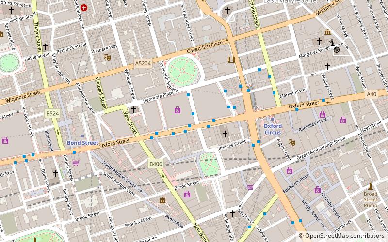
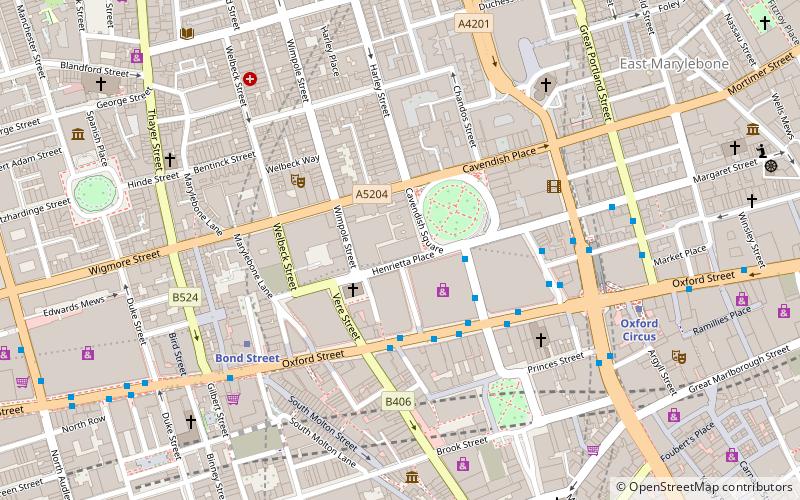
Map
Map
Facts and practical information
Old Cavendish Street, originally Cavendish Street, is a street in Marylebone in the City of Westminster in central London that runs from Henrietta Place in the north to Oxford Street in the south. ()
Coordinates: 51°30'54"N, 0°8'45"W
Address
City of Westminster (West End)London
ContactAdd
Social media
Add
Getting there by public transportation
Public transportation stops near this location
- Metro
- Bus
- Train
- Ferry
 Metro
Metro
- Calculate routeOxford Circus Station / John Lewis 2 min walk
- Calculate routeHolles Street 2 min walk
- Calculate routeOxford Circus Station / Harewood Place 3 min walk
- Calculate routeGreat Titchfield Street / Oxford Circus Station 8 min walk
- Calculate routeBond Street 4 min walk
- Calculate routeOxford Circus 5 min walk
- Calculate routeMarble Arch 14 min walk
- Calculate routePiccadilly Circus 16 min walk
- Calculate routeLondon Marylebone 26 min walk
- Calculate routeCharing Cross 28 min walk
- Calculate routeLondon Euston 28 min walk
- Calculate routeLondon St. Pancras International 37 min walk
- Calculate routeEmbankment 31 min walk
- Calculate routeWestminster Pier 34 min walk
- Calculate routeLondon Eye - Waterloo Pier 35 min walk
Maps Tube
Tube
TubeDay trips
Old Cavendish Street – popular in the area (distance from the attraction)
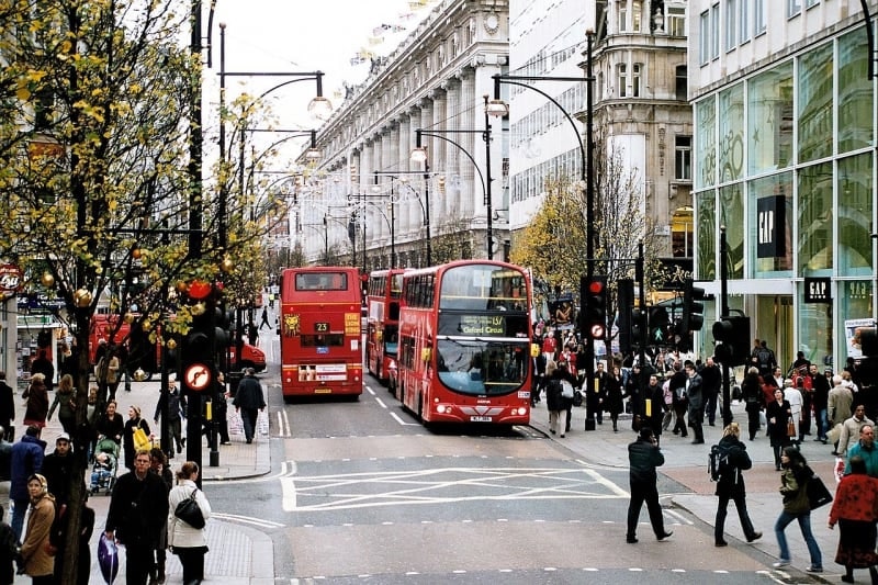
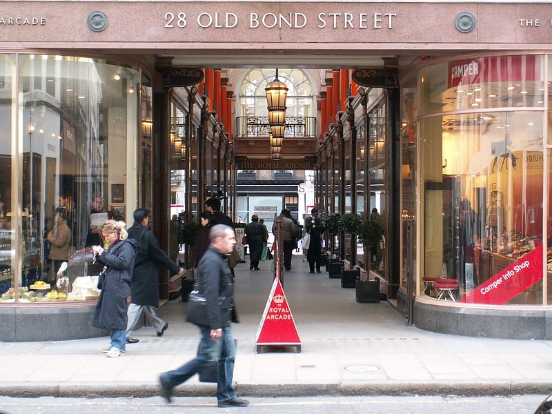
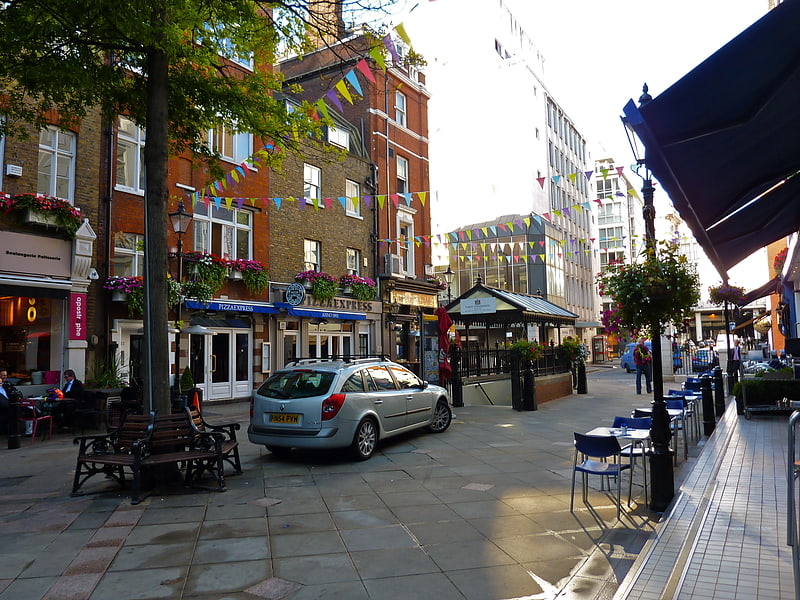
Nearby attractions include: Oxford Street, Bond Street, South Molton Street, Conduit Street.


Frequently Asked Questions (FAQ)
Which popular attractions are close to Old Cavendish Street?
Nearby attractions include Winged Figure, London (2 min walk), Royal College of Nursing, London (2 min walk), Marylebone Lane, London (3 min walk), Hanover Square, London (3 min walk).
How to get to Old Cavendish Street by public transport?
The nearest stations to Old Cavendish Street:
Bus
Metro
Train
Ferry
Bus
- Oxford Circus Station / John Lewis • Lines: 390, 7, 98, N207, N7, N98 (2 min walk)
- Holles Street • Lines: 55, 73, N55 (2 min walk)
Metro
- Bond Street • Lines: Central, Jubilee (4 min walk)
- Oxford Circus • Lines: Bakerloo, Central, Victoria (5 min walk)
Train
- London Marylebone (26 min walk)
- Charing Cross (28 min walk)
Ferry
- Embankment • Lines: Green Tour, Rb1, Rb1X, Rb2, Rb6 (31 min walk)
- Westminster Pier • Lines: Blue Tour, Green Tour, Rb1, Rb1X, Rb2, Red Tour (34 min walk)