Holyrood Abbey Church, Edinburgh
Map
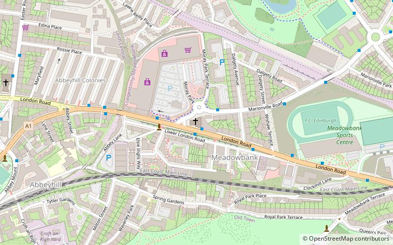
Map

Facts and practical information
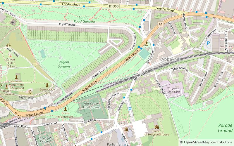
Holyrood Abbey Church was a congregation of the Church of Scotland in Edinburgh, Scotland. It was based in a late-Victorian church building on London Road, Abbeyhill, around 0.5 miles north of Holyrood Abbey. The church building was opened in December 1900 as Abbeyhill United Free Church. The building is now used by the congregation of Meadowbank Church of Scotland, Edinburgh. ()
Coordinates: 55°57'25"N, 3°9'50"W
Day trips
Holyrood Abbey Church – popular in the area (distance from the attraction)
Nearby attractions include: Palace of Holyroodhouse, Easter Road Stadium, Queen's Gallery, The Scottish Parliament.
Frequently Asked Questions (FAQ)
Which popular attractions are close to Holyrood Abbey Church?
Nearby attractions include The Salt Cave, Edinburgh (3 min walk), Abbeyhill, Edinburgh (8 min walk), Lochend Park, Edinburgh (8 min walk), Lochend Castle, Edinburgh (8 min walk).
How to get to Holyrood Abbey Church by public transport?
The nearest stations to Holyrood Abbey Church:
Bus
Train
Tram
Bus
- Marionville Road • Lines: 124, 26, 4, 44 (1 min walk)
- Wishaw Terrace • Lines: 124, 26, 4, 44 (4 min walk)
Train
- Edinburgh Waverley (28 min walk)
Tram
- St Andrew Square • Lines: Edinburgh Trams Eastbound, Edinburgh Trams Westbound (29 min walk)


