Warleigh, Plymouth
Map
Facts and practical information
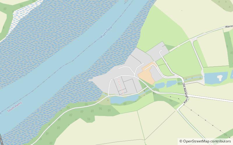
Warleigh is an historic estate within the parish of Bickleigh in Devon, about 6 miles from Plymouth. Warleigh House, the manor house of the manor of Tamerton Foliot is situated one mile west of that village on the south-east bank of the River Tavy where it joins the River Tamar. It was remodelled in about 1830 in the Gothic style by John Foulston and has been listed Grade II* on the National Heritage List for England since 1960. ()
Coordinates: 50°26'6"N, 4°10'28"W
Address
Plymouth
ContactAdd
Social media
Add
Getting there by public transportation
Public transportation stops near this location
- Bus
- Train
 Bus
Bus
- Calculate routeLake View Close 23 min walk
- Calculate routeBere Ferrers 30 min walk
Day trips


Frequently Asked Questions (FAQ)
How to get to Warleigh by public transport?
The nearest stations to Warleigh:
Bus
Train
Bus
- Lake View Close • Lines: 44A (23 min walk)
Train
- Bere Ferrers (30 min walk)