Woodland Fort, Bere Ferrers
Map

Map

Facts and practical information
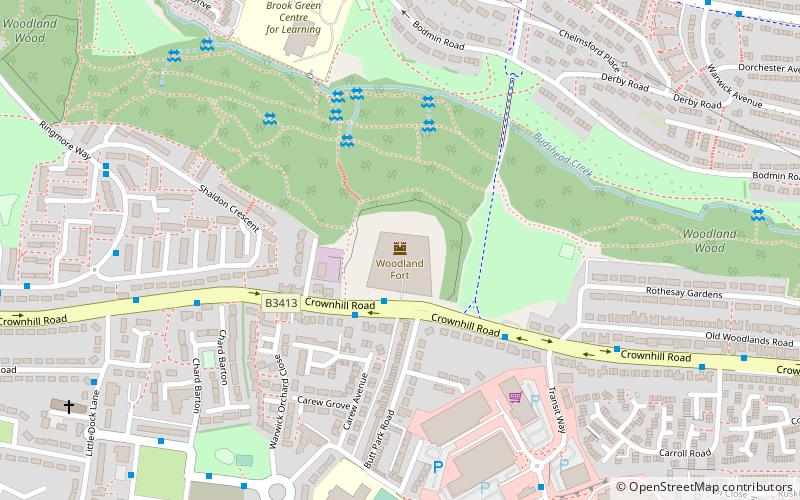
Woodland Fort is a Royal Commission Fort built in the 1860s as part of Lord Palmerston's ring of land defences for Plymouth, England. Currently owned by Plymouth City Council, the site is in use but largely derelict. ()
Built: 1863 (163 years ago)Coordinates: 50°24'49"N, 4°9'15"W
Address
HonicknowleBere Ferrers
ContactAdd
Social media
Add
Day trips
Woodland Fort – popular in the area (distance from the attraction)
Nearby attractions include: Drake Circus, Armada Centre, Royal Albert Bridge, Mutley Baptist Church.
Frequently Asked Questions (FAQ)
How to get to Woodland Fort by public transport?
The nearest stations to Woodland Fort:
Bus
Bus
- Shaldon Crescent • Lines: 44A (7 min walk)
- Lamerton Close • Lines: 44A (8 min walk)


