Tamar Bridge, Plymouth

Gallery (5)
Map

Map

Gallery
Facts and practical information
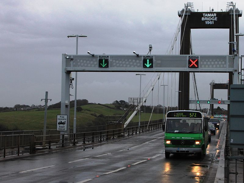
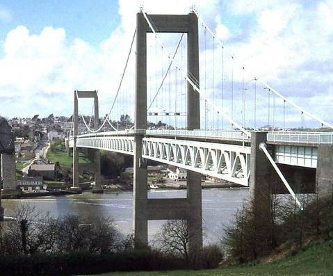
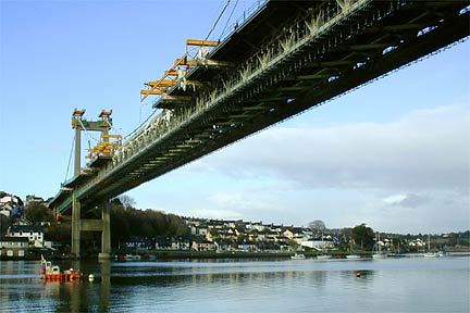
The Tamar Bridge is a suspension bridge over the River Tamar between Saltash, Cornwall and Plymouth, Devon in southwest England. It is 335 metres long, running adjacent to the Royal Albert Bridge, and part of the A38, a main road between the two counties. ()
Getting there by public transportation
Public transportation stops near this location
- Bus
- Train
 Bus
Bus
- Calculate routeSaltash 7 min walk
- Calculate routeSt Budeaux Victoria Road 21 min walk
- Calculate routeSt Budeaux Ferry Road 22 min walk
- Calculate routeFore Street Bottom 9 min walk
- Calculate routeEvelyn Street 20 min walk
- Calculate routeVictoria Road Library 21 min walk
- Calculate routeSt Budeaux Square 23 min walk
Day trips


Frequently Asked Questions (FAQ)
Which popular attractions are close to Tamar Bridge?
Nearby attractions include Royal Albert Bridge, Saltash (2 min walk), Church of St Nicholas and St Faith, Saltash (7 min walk), Saltash Passage, Plymouth (11 min walk), Saltash Tunnel, Saltash (15 min walk).
How to get to Tamar Bridge by public transport?
The nearest stations to Tamar Bridge:
Train
Bus
Train
- Saltash (7 min walk)
- St Budeaux Victoria Road (21 min walk)
Bus
- Fore Street Bottom • Lines: 11 (9 min walk)
- Evelyn Street • Lines: 44A (20 min walk)